By Jon Tharp, Broker · September 24, 2026
At a Glance
Three scenic fall drives in the Blue Ridge Mountains for 2026 are the Blue Ridge Parkway, the U.S. 421 byway near Boone, and the Mountain Waters Scenic Byway through Nantahala National Forest near Franklin and Highlands. Peak color in Western North Carolina moves down the mountains through October, starting above 5,000 feet in late September and reaching valleys by late October. NC State's forecaster expects a patchwork year, and the Asheville area, which is largely drought-free, could fare better than surrounding parts of the mountains.
Blue Ridge Outdoors has picked three scenic autumn routes in the Blue Ridge, and one of them is the Mountain Waters Scenic Byway, the 61.3-mile stretch that runs through Nantahala National Forest, with the Cullasaja Gorge and Bridal Veil Falls nearby. The other two are the Blue Ridge Parkway and a section of U.S. 421 up near Boone.
The timing matters this year. Forecasts call for color to begin appearing on the highest ridges in late September, and the forecast from NC State is calling for a patchy season. Here is what each drive offers, and when to go.
The Mountain Waters Scenic Byway
This is the local one, so it goes first. The byway follows U.S. 64, old U.S. 64, SR 1310, and U.S. 19/74 through two gorges, wooded areas, and countryside. Blue Ridge Outdoors calls it home to some of the most picturesque vistas in the state, with waterfalls, lakes, and hikes scattered along the way for a picnic or a short walk.
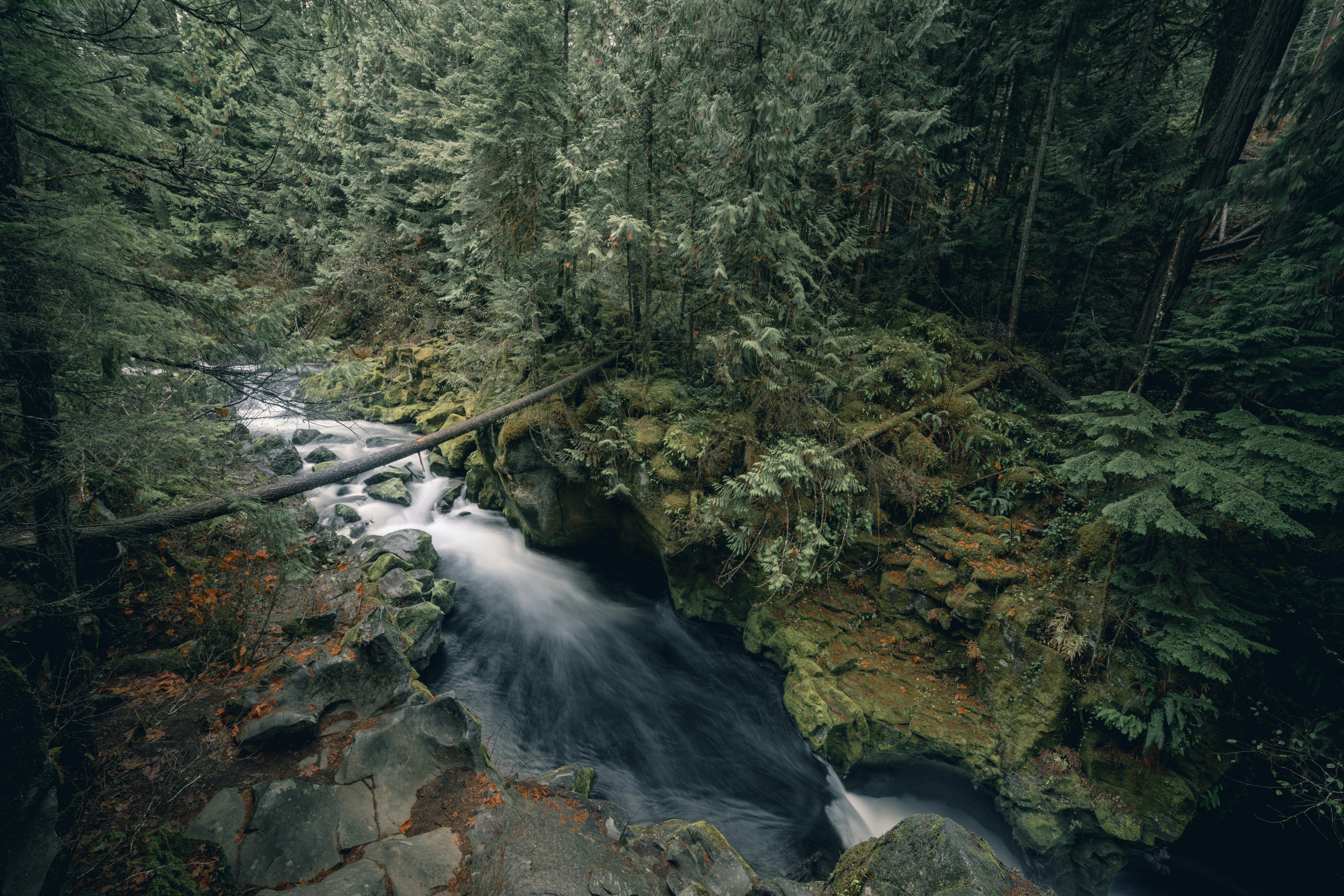
The Cullasaja Gorge sits just southeast of Franklin on U.S. 64 and is one of the most popular places to hike and explore near the byway. Bridal Veil Falls, near Highlands, is where drivers used to pull their cars behind the 60-foot waterfall. You can't do that anymore, but you can still walk to the backside for a similar experience from up close.
Peak leaf season along the byway typically runs mid to late October. Higher elevations in the area change earlier than lower ones, so if you drive it twice a couple of weeks apart, you will see two different roads. (Source: https://www.blueridgeoutdoors.com/travel/peak-color-3-scenic-fall-drives-in-the-blue-ridge-mountains/)
The Blue Ridge Parkway
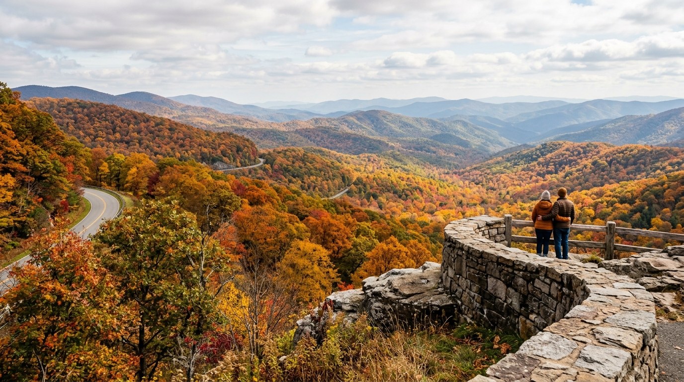
The Parkway is 469 miles from Shenandoah National Park to Great Smoky Mountains National Park, and it is built for exactly this. Speed limits usually run 35 to 45 miles per hour, which sounds slow until you realize that is the point. The road is scattered with pull-offs and picnic areas.
In North Carolina, Blue Ridge Outdoors recommends the Mount Pisgah Trail for a leg-stretcher. It is 4.7 miles with more than 1,000 feet of climbing to the summit, with side trails if you want to make a day of it. Linville Falls in North Carolina is another iconic stop along the Parkway. (Source: https://www.blueridgeoutdoors.com/travel/peak-color-3-scenic-fall-drives-in-the-blue-ridge-mountains/)
NOC's 2026 foliage guide points to Waterrock Knob on the Parkway, which offers views from more than 6,000 feet and is listed among the places to find the season's earliest color. Graveyard Fields, Sam's Knob, and Devil's Courthouse follow in the first week of October, and by mid-month color should be spreading through the mid-elevation ridges around Cherokee and the Nantahala Gorge. (Source: https://noc.com/news/western-north-carolina-fall-foliage-forecast-map/)
U.S. 421 Near Boone
U.S. 421 runs 941 miles from North Carolina to Indiana, and Blue Ridge Outdoors singles out the stretch between Boone and Deep Gap for its mountain and river access.
The hike here is Snake Mountain, a 2.5-mile climb to 5,565 feet. It is the tallest point between Grandfather Mountain and Mount Rogers, and the magazine describes it as challenging but rewarding, with some of the best fall views in the area. (Source: https://www.blueridgeoutdoors.com/travel/peak-color-3-scenic-fall-drives-in-the-blue-ridge-mountains/)
What the 2026 Forecast Says
NC State forestry professor Robert Bardon, who has been forecasting North Carolina foliage for more than a decade, expects a patchwork this year. Drought is the big divide. The Asheville area is largely drought-free, which could give it better color than surrounding parts of the mountains, particularly if it stays adequately hydrated through the fall. Much of the rest of the region is still dry, and stressed trees tend to drop leaves early or turn dull brown instead of red.
The good news for the mountains is that temperatures have an equal chance of running above or below normal, rather than a clear tilt toward warm. Bardon says the recipe for bright color is sunny days and cool nights that stay above freezing. Rainy, overcast weather pushes the season later and washes out the reds. (Source: https://cnr.ncsu.edu/news/2026/08/north-carolina-fall-foliage-forecast-and-guide/)
The general timeline holds regardless. Patchy color above 5,000 feet in late September, widespread above 4,000 feet in early to mid October, peak between 4,000 and 5,000 feet by mid-month, then the valleys and mountain towns by late October. NOC's guide suggests Sylva and Dillsboro for the first week of November, when the higher ridges are past peak but the river valleys still hold color and the busiest October weekends have passed. (Sources: https://cnr.ncsu.edu/news/2026/08/north-carolina-fall-foliage-forecast-and-guide/ and https://noc.com/news/western-north-carolina-fall-foliage-forecast-map/)
The practical advice from NOC is not to pin a trip on one peak date. Give yourself room to explore different elevations, check weather, road closures, and recent foliage reports each morning, and go where the color is.
Frequently Asked Questions
When is peak fall color in Western North Carolina in 2026?
Color starts above 5,000 feet in late September, becomes widespread above 4,000 feet in early to mid October, peaks between 4,000 and 5,000 feet in mid October, and reaches mountain towns and river valleys by late October. Lower valleys below roughly 2,500 feet hold late color into the first week of November.
How long is the Mountain Waters Scenic Byway?
The Mountain Waters Scenic Byway is a 61.3-mile route through Nantahala National Forest in Western North Carolina. It follows U.S. 64, old U.S. 64, SR 1310, and U.S. 19/74, passing two gorges, waterfalls, and lakes. Peak leaf season along the byway typically runs from mid to late October.
Can you still drive behind Bridal Veil Falls near Highlands?
No. Road trippers once drove their vehicles behind Bridal Veil Falls, but today visitors walk to the backside of the 60-foot waterfall for a similar up-close experience.
About the Author
Jon Tharp is a licensed NC real estate broker with Keller Williams. He's helped buyers and sellers across Western North Carolina for over 10 years, specializing in mountain homes, land, and short-term rental investments, with offices throughout WNC covering all mountainous areas. If something in this post has you thinking about a move, he's easy to reach — (828) 347-9055 or smokymountainhomes4sale.com or Jon@jontharphomes.com.
Ready to Find Your Mountain Home Near Franklin?
Whether you're looking to buy, considering a short-term rental investment, or ready to sell, the Jon Tharp Team brings deep local knowledge and marketing that puts your home in front of 50,000+ buyers in the first 30 days.
Search available homes across Western NC or call Jon directly at (828) 347-9055.
Talk to JonWhat Our Clients Say
43 five-star Google reviews — read them all on Google
"Jon is hands down the most dedicated and knowledgeable realtor that I have ever worked with. His expertise made the entire process of selling my home and finding a new one a smooth process."
Amy Davis · 2025
"Jon & his team are the greatest! Very professional, friendly like your neighbor, and always get back to your texts, phone calls & emails within minutes or same day, not days or weeks."
Cynthia Oelschlager · 2025
"I can’t say enough good things about Jon and his team. I was looking for investment properties and Jon spent time researching where would be a good place for an Airbnb — he found 2 beautiful properties."
Diane Cogswell · 2025
More from the Blog