By Jon Tharp, Broker · July 17, 2026
At a Glance
Panthertown Valley is a 6,311-acre U.S. Forest Service backcountry near Cashiers, nicknamed the "Yosemite of the East" for its granite domes and waterfalls. Friends of Panthertown, a nonprofit stewarding roughly 30 miles of trails, invites the public to free programs like Leave No Trace talks, weekly Trail Stewardship Days, and an annual BioBlitz. Call (828) 269-HIKE or visit panthertown.org to get involved.
Set in the mountains near Cashiers is a valley most people drive right past without knowing it exists. Granite domes rise 200 to 300 feet out of a deep forest, waterfalls slide over open rock into swimming holes, and roughly 30 miles of trail wind through country that feels a world away from the nearest paved road. Locals and out-of-state hikers alike have taken to calling it the "Yosemite of the East." Its real name is Panthertown Valley, and right now the group that cares for it is inviting the public to come learn what makes it worth protecting.
Friends of Panthertown, the nonprofit that stewards the valley in partnership with the U.S. Forest Service, has built a full slate of free, public programs. A recent Leave No Trace session at the Cashiers Library is a good example of the kind of outreach they do, aimed squarely at newcomers who want to understand the place before they lace up their boots. If you have ever wanted an insider's introduction to one of the region's most striking landscapes, this is your invitation.
A Valley That Looks Like the West
Panthertown covers 6,311 acres, and it sits inside a larger protected complex of more than 10,000 acres in the Blue Ridge Mountains. That scale matters, because it is what gives the valley room to feel wild. You can walk for hours and never cross a road.
The defining feature is granite. Big Green Mountain and Little Green Mountain are the two signature domes, sheer faces of pale rock that rise over a heavily forested floor. Sheer cliffs run 200 to 300 feet high in places, which is where the Yosemite comparison comes from. It is not marketing. Stand at the base of one of these domes and the resemblance is hard to miss.
The valley sits on the Eastern Continental Divide, with elevations ranging from about 3,000 feet up to 4,777 feet. Rain that falls on one side heads toward the Atlantic, and rain on the other side starts a longer journey toward the Gulf. That divide is part of what makes the water so central to the experience here. Streams gather quickly and drop over rock in every direction.
For a first look, the payoff comes fast. From the west parking area, it is only about a quarter mile to Salt Rock Gap, which opens up a panoramic overlook of the entire valley. It is one of the few places where you can take in the whole landscape at once before dropping down into it.
Waterfalls and Swimming Holes
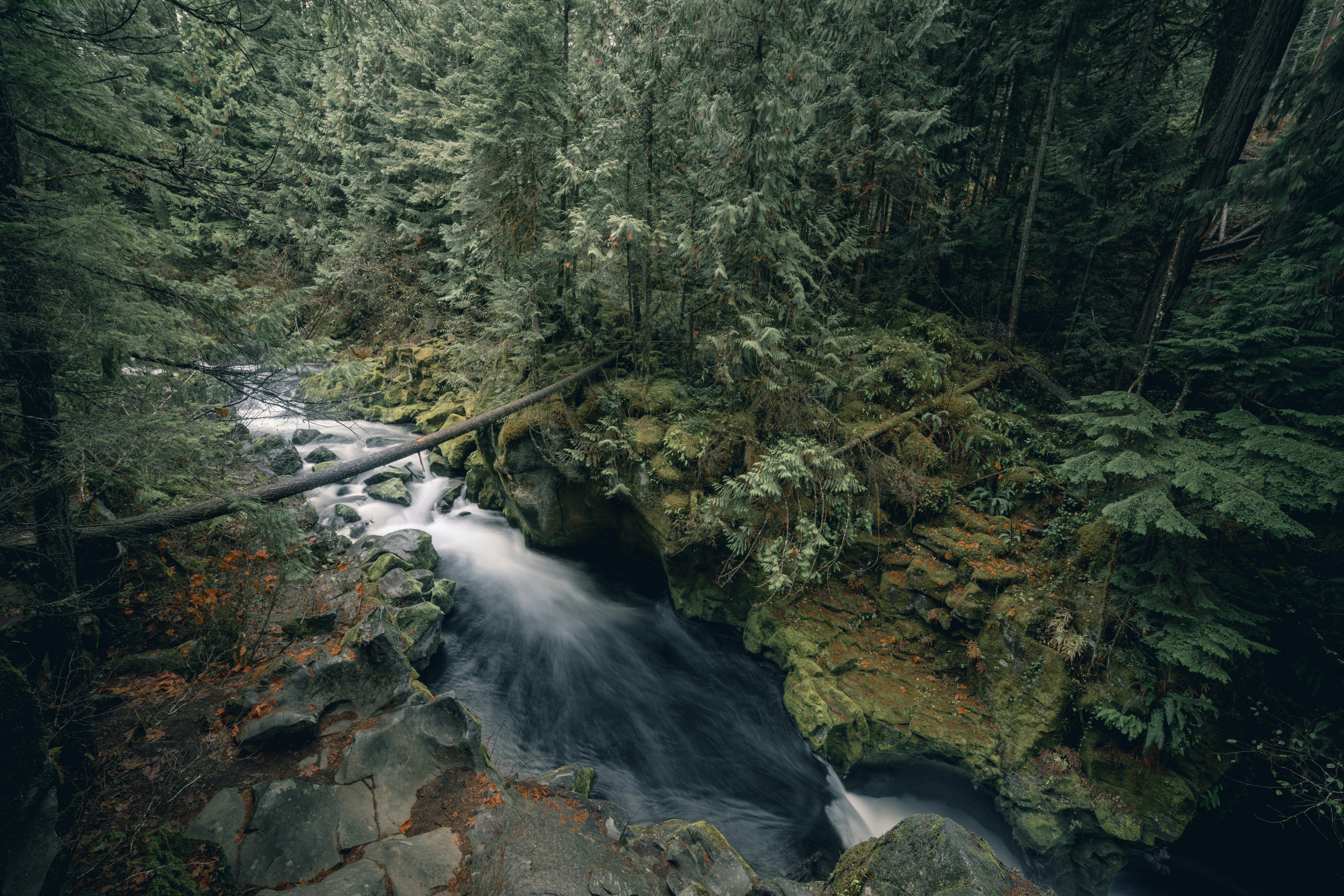
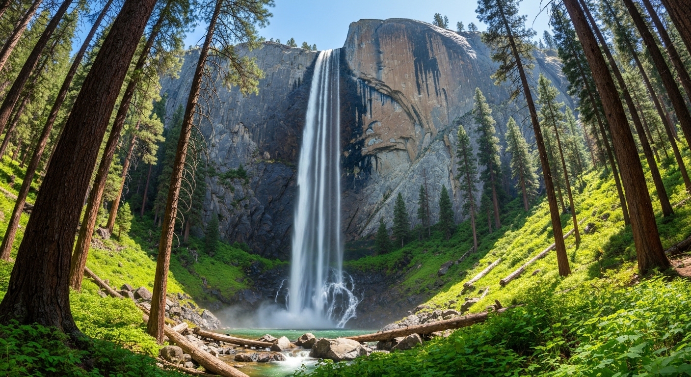
If the domes are what people photograph, the waterfalls are what keep them coming back. Panthertown holds more than eight major falls plus a long list of smaller cascades, and several of them come with swimming holes that fill up on hot afternoons.
Schoolhouse Falls is the most popular. The water drops into a wide, deep pool that is big enough for a crowd, and the walk in is manageable for most families. On a July weekend you will find kids wading, dogs shaking off, and folks spread out on the rocks with a packed lunch.
Granny Burrell Falls has a different character. Instead of a straight drop, the water slides down a broad sheet of granite like a natural waterslide, pooling at the bottom into a good spot for a swim. Frolictown Falls and Wilderness Falls give you more to chase if you want to string together a longer day, and there are countless unnamed drops tucked along the side creeks.
A word of caution that Friends of Panthertown repeats often. This is backcountry, not a park. There are no lifeguards, no railings, and no cell service to count on when you are deep in the valley. Water levels rise fast after rain, and the same rock that makes the falls so beautiful gets slick. Come prepared, watch the sky, and know your limits.
From Logging Camp to Conservation Win
Panthertown did not stay wild by accident. Its recent history reads like a series of close calls, each one a moment when the valley could have become something very different.
In the 1920s and 1930s, the Moltz Lumber Company, a Maryland operation, logged the valley. That era is still visible in the network of old logging roads that now serve as trails, which is why some paths run so wide and even underfoot. In the 1960s, Liberty Properties bought the land and drew up plans to turn it into a resort development. The plan never materialized. The Blue Ridge Parkway once eyed a route through the valley too, and when that fell through, the door opened for industrial use instead.
The biggest turning point came in January 1988, when Duke Power Company purchased the tract to run a 230-kilovolt transmission line from its generating facility at Jocassee, South Carolina, north to its proposed Nantahala Power and Light subsidiary. A transmission corridor straight down the valley floor would have changed the place forever.
Instead, a compromise held. After negotiation, Duke agreed to move the line to high points on either side of the valley and to paint the towers to blend into the landscape, protecting the view from below. Then in 1989, the North Carolina Chapter of The Nature Conservancy purchased nearly all of the land, excluding Duke's right-of-way, for somewhere close to $7.875 million. The Conservancy conveyed it to the U.S. Forest Service for inclusion in the Nantahala National Forest, where it remains today as part of the Roy Taylor Forest. Sources vary a little on the exact dates and figures, but the outcome is clear. A valley that was nearly a resort, nearly a parkway, and nearly a power corridor became public land instead.
The People Who Keep the Trails Open
Public land still needs hands to care for it, and in Panthertown those hands belong to Friends of Panthertown. The 501(c)(3) nonprofit has been active since 2005 and marked 20 years of stewardship in 2024 and 2025. It works in formal partnership with the U.S. Forest Service, filling the gap between what a federal agency can manage and what a heavily used backcountry actually requires.
Jason Kimenker serves as executive director, based right in Cashiers, and Maggie Carton chairs the board of trustees. Behind them are the volunteers, who do the real work of the operation. Since 2005 the group has trained and coordinated hundreds of them, raised funds for trail and conservation work, and built out an Adopt-A-Trail program that gives individuals and businesses a specific stretch of path to look after.
The work has drawn national notice. In July 2026, the Coalition for Recreational Trails named the group's "Sustainable Trail Design and Layout, Construction, and Maintenance Training" the winner of the CRT Tom Petri Annual Achievement Award in the Education and Communication category. The award recognizes outstanding use of Recreational Trails Program funds, and it puts a small Cashiers nonprofit on a national list.
That recognition matters because Panthertown is not easy to maintain. The valley draws visitors from around the world, and heavy use leaves a mark. Friends of Panthertown has become the reason the trails stay walkable and the swimming holes stay clean, one work hike at a time.
What "Undeveloped Backcountry" Really Means
Being clear about what Panthertown is and is not matters, because the distinction shapes every visit. This is not a national park or a state park. There are no restrooms, no trash cans, no water fountains, no paved roads to the interior, and no staff waiting at a gate to answer questions.
There are roughly 30 miles of officially designated Forest Service trails, all maintained by volunteers, plus what the group describes as hundreds of miles of unmarked footpaths, rock hops, and old logging roads. The lack of signage inside the valley trips up a lot of first-timers. A good map is not optional here, and downloading it before you lose signal is the difference between a great day and a long, confused one.
The valley is also a designated black bear sanctuary, which is part of why it feels so alive. Store your food, keep dogs leashed, and treat the wildlife with respect. With more than 25,000 annual visitors and climbing, Leave No Trace has named Panthertown a "Hot Spot," a label for popular places under pressure. That is exactly why the public education programs exist.
If you want the fullest picture of the natural and human history here, Marci Spencer's book "Panthertown Valley" is a solid companion. And the people who moved to this corner of the mountains often did so for exactly this kind of access, wild country a short drive from home, so if you ever find yourself wondering what it would be like to live within reach of a place like this, I am always happy to talk about the area over a cup of coffee.
How to Get Involved This Season
The easiest way in is to show up for one of the public programs. Weekly Trail Stewardship Days run from 9 a.m. to 2 p.m., with no experience required. They are structured as roughly five-mile round-trip work hikes, so you get a real day on the trail while helping keep it open. Crew leaders handle the know-how; you bring water, sturdy shoes, and a willingness to get your hands dirty.
Beyond the work hikes, the calendar fills out with free educational sessions like the Leave No Trace talks, guided conservation hikes, and an annual BioBlitz during the City Nature Challenge. The 2025 BioBlitz ran on a Saturday afternoon at Lewis Hall at The Village Green in Cashiers, a relaxed few hours of counting species with people who know the valley well. These events are built for newcomers, families, and second-home owners who want to feel connected to the landscape they moved near.
To find current dates or ask a question, call (828) 269-HIKE, that spells out to 269-4453, or email friends@panthertown.org. The group's website, panthertown.org, keeps an updated calendar, and the mailing address is P.O. Box 51, Cashiers, NC 28717.
Panthertown Valley has survived a lumber company, a resort scheme, a parkway route, and a power line, and it is still here because people keep choosing to protect it. The public invitation is real. Learn the place, then help look after it.
Frequently Asked Questions
Where is Panthertown Valley and how do I get there?
Panthertown Valley sits in the Blue Ridge Mountains near Cashiers, straddling the line between Transylvania and Jackson counties within the Nantahala National Forest. It is managed by the U.S. Forest Service as part of the Roy Taylor Forest unit. Most visitors access it from either the east or west trailhead parking areas off Cold Mountain Road. The valley is undeveloped backcountry, so there are no paved roads to the interior, no signs pointing the way once you are inside, and no on-site staff. Bring a detailed trail map, download it before you lose cell signal, and give yourself extra time to find the trailhead.
What are the best waterfalls and hikes in Panthertown Valley?
Schoolhouse Falls is the most popular destination, with a wide plunge into a large swimming pool that draws families all summer. Granny Burrell Falls is a sliding veil of water over open granite with a prime swimming hole below it. Frolictown Falls and Wilderness Falls round out the major named cascades, and the valley holds more than eight significant waterfalls plus dozens of smaller ones. For big views, hike the short quarter-mile from the west parking area to Salt Rock Gap, which overlooks the whole valley, or climb the granite faces of Big Green Mountain and Little Green Mountain.
Are dogs and swimming allowed in Panthertown Valley?
Yes to both. Panthertown is dog-friendly, and you will see plenty of leashed dogs on the trails, though owners should pack out waste and keep pets under control since this is a designated black bear sanctuary. Swimming is one of the valley's main draws in warm months, especially at Schoolhouse Falls and Granny Burrell Falls, both of which have deep pools. Because there are no lifeguards, restrooms, or trash cans anywhere in the valley, treat every visit as a pack-it-in, pack-it-out trip. Water levels and current can rise quickly after rain, so check conditions before you wade in.
How can the public get involved with Friends of Panthertown?
Friends of Panthertown runs regular public programs, and no experience is required for most of them. Weekly Trail Stewardship Days run from 9 a.m. to 2 p.m. and involve roughly five-mile round-trip work hikes where volunteers maintain trails alongside experienced crew leaders. The group also hosts free educational sessions like Leave No Trace talks, guided conservation hikes, and an annual BioBlitz during the City Nature Challenge. You can join the Adopt-A-Trail program, donate, or simply show up. Reach the organization at (828) 269-HIKE, email friends@panthertown.org, or visit panthertown.org for the current calendar.
About the Author
Jon Tharp is a licensed NC real estate broker with Keller Williams. He's helped buyers and sellers across Western North Carolina for over 10 years, specializing in mountain homes, land, and short-term rental investments, with offices throughout WNC covering all mountainous areas. If something in this post has you thinking about a move, he's easy to reach — (828) 347-9055 or smokymountainhomes4sale.com or Jon@jontharphomes.com.
Ready to Find Your Mountain Home Near Sylva?
Whether you're looking to buy, considering a short-term rental investment, or ready to sell, the Jon Tharp Team brings deep local knowledge and marketing that puts your home in front of 50,000+ buyers in the first 30 days.
Search available homes across Western NC or call Jon directly at (828) 347-9055.
Talk to JonWhat Our Clients Say
43 five-star Google reviews — read them all on Google
"Jon is hands down the most dedicated and knowledgeable realtor that I have ever worked with. His expertise made the entire process of selling my home and finding a new one a smooth process."
Amy Davis · 2025
"Jon & his team are the greatest! Very professional, friendly like your neighbor, and always get back to your texts, phone calls & emails within minutes or same day, not days or weeks."
Cynthia Oelschlager · 2025
"I can’t say enough good things about Jon and his team. I was looking for investment properties and Jon spent time researching where would be a good place for an Airbnb — he found 2 beautiful properties."
Diane Cogswell · 2025
More from the Blog