By Jon Tharp, Broker · July 20, 2026
At a Glance
A Mount Pisgah day trip on the Blue Ridge Parkway fits overlooks, waterfalls, and a summit hike into one drive, all under an hour from Asheville. Park at Looking Glass Rock Overlook near Milepost 417 for Skinny Dip Falls and the dragon tree, climb the gravel road to Fryingpan Mountain Lookout Tower, eat lunch at the seasonal Pisgah Inn, then tackle the steep Mount Pisgah Trail. All reopened after Helene.
There is a tree at Skinny Dip Falls that looks like a dragon. Locals call it exactly that, and once you see the long neck of exposed root arching over the creek and the head bent toward the water, you cannot unsee it. People line up to photograph it. Kids climb on it. It has turned into the thing most people remember from one of the most popular short hikes on this stretch of the Blue Ridge Parkway.
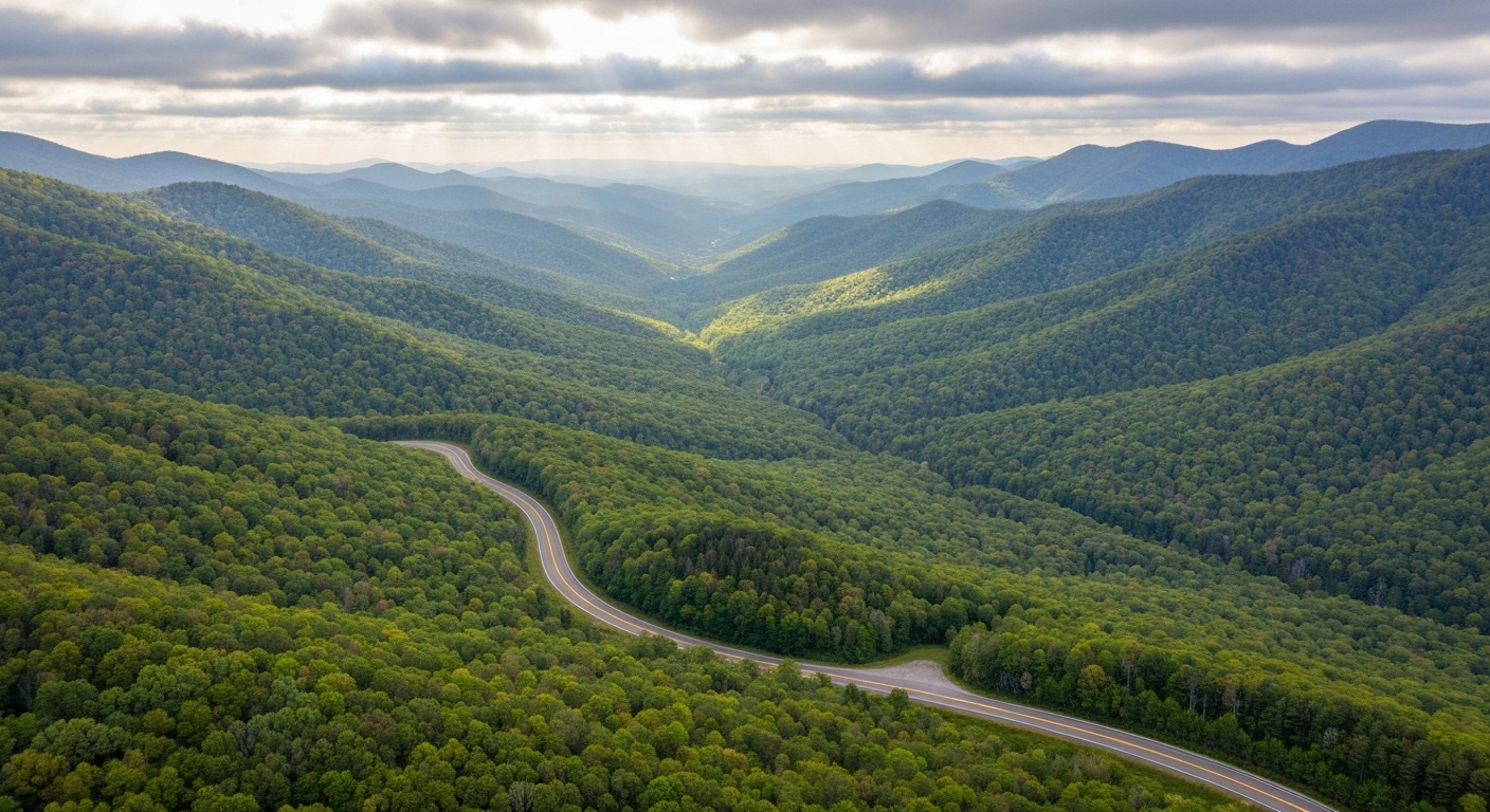
That tree is one stop on a day that fits neatly between breakfast and dinner. The Mount Pisgah corridor sits just under an hour from Asheville, and within about ten miles of Parkway you can string together an overlook, a waterfall, a fire tower, a mountaintop lunch, and a summit hike steep enough to make your calves complain for two days.
Everything here has reopened following Helene, and I want to say that plainly. This part of the mountains took a beating, and getting these trails back has felt like a small piece of normal life returning.
Start at Looking Glass Rock Overlook
Milepost 417 is where the day begins. The Looking Glass Rock Overlook gives you the classic view of Looking Glass Rock rising out of the Pisgah National Forest, a granite dome that catches light differently depending on the hour and the season. In late summer it reads deep green against a hazy sky. In October it sits in a bowl of orange and gold that photographs well and looks better in person.
You can hike Looking Glass Rock itself, but that trailhead is down in the national forest off US 276, not up here. From the overlook you are simply admiring it from across the valley, which is the right way to start a day that is going to involve plenty of climbing.
The practical reason to stop here is parking. This overlook doubles as the trailhead lot for Skinny Dip Falls, and like most Parkway pullouts, it is small. A dozen or so cars fill it, and on a Saturday in October those spots are gone by mid morning. If you are driving out from Asheville, Waynesville, or Sylva, leave earlier than feels necessary. A weekday visit solves the problem entirely.
Give yourself a few minutes at the railing before you head for the trail. The overlooks along this stretch are not filler between hikes. They are part of why people move to Western North Carolina and stay.
Skinny Dip Falls and the Dragon Tree
The trail to Skinny Dip Falls starts across the road from the overlook and runs a bit under a mile round trip. It is the easiest hike of the day by a wide margin, which makes it a good opener while everyone is fresh.
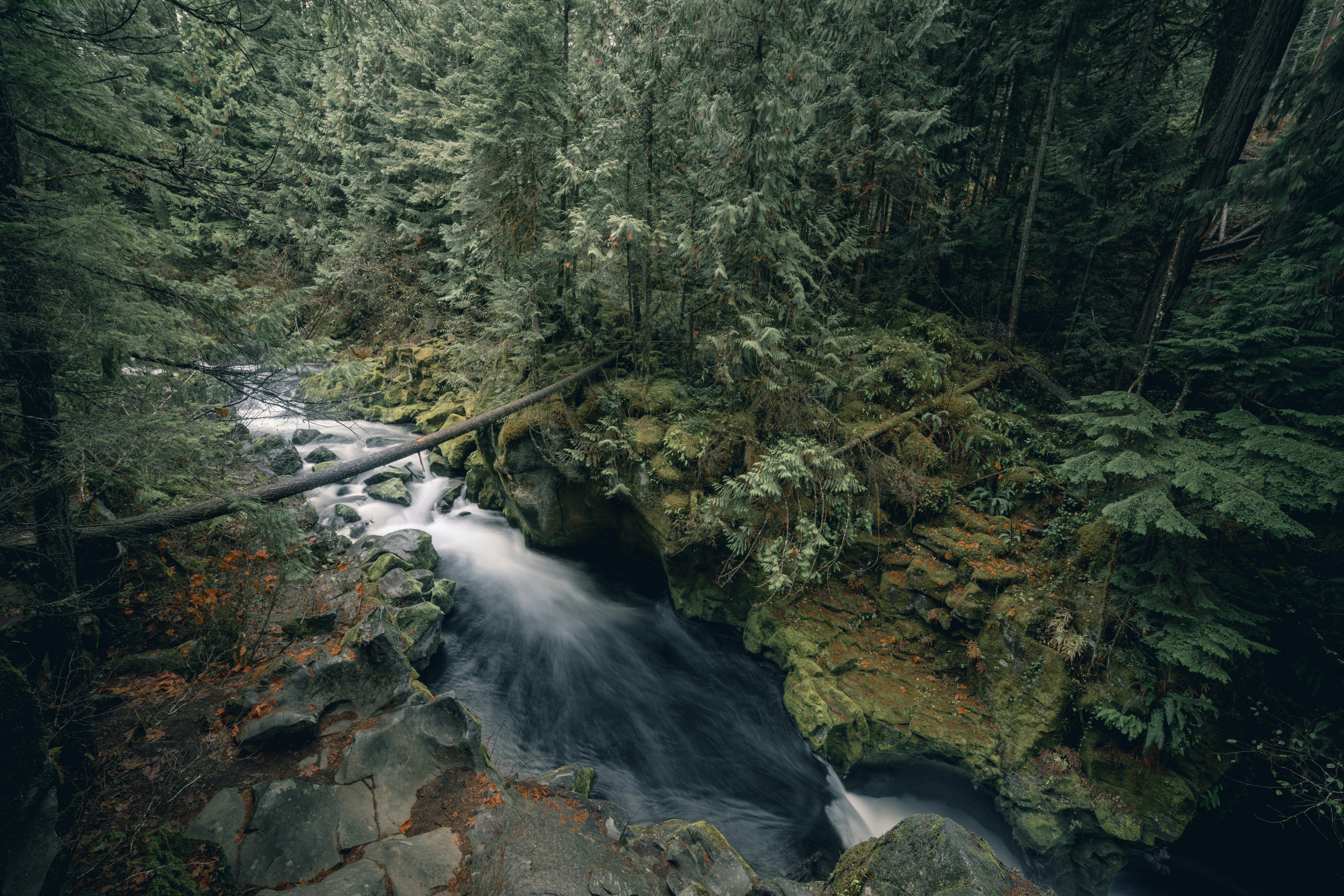
The path drops through hardwood forest, crosses a footbridge, and delivers you to a set of cascades tumbling into clear pools on the Yellowstone Prong. The water is cold. It is cold in July. That has never stopped anyone from getting in, and on a hot afternoon you will find swimmers on the rocks and teenagers working up the nerve to jump.
The falls themselves are a series of drops rather than one dramatic plunge, which means there are several good spots to sit rather than one crowded viewpoint. Rock hop carefully. Wet stone here is slicker than it looks, and the moss does not care how good your boots are.
Then there is the dragon tree, sitting near the water with its exposed roots twisting into that unmistakable shape. For a lot of people it is the reason to make this particular walk, and it is the photo they send home.
Because this hike is short and popular, it fills up. If you arrive to find a crowd, consider flipping the order of your day and coming back after lunch when the morning crowd has moved on. Nothing about this itinerary requires strict sequencing.
The Steep Walk Up to Fryingpan Mountain Lookout Tower
Fryingpan is the odd one out on this list, and it is a favorite for exactly that reason. Instead of a footpath, you walk a gravel service road that climbs at a grade steep enough to get your attention within the first two minutes. It is roughly a mile and a half round trip, and there is no shade relief once you are in the open sections.
At the top sits the Fryingpan Mountain Lookout Tower, a steel fire tower that has watched this forest for decades. The stairs are open metal and the structure sways slightly in wind, which is normal and also unnerving the first time. Climb as high as you are comfortable. Plenty of people stop partway up and still get a long view.
From the top you get a full sweep of the Pisgah Ridge, with Mount Pisgah and its distinctive tower standing to the north and layers of blue ridgelines running out in every other direction. On a clear afternoon this is one of the widest 360 degree views you can reach without a serious backcountry effort.
The climb up the road is honest work, and the walk back down takes about half the time. If your group has mixed hiking abilities, this is a good place to split up. The road is wide and easy to follow, so slower walkers can turn around whenever they like without any route finding.
Bring water. There is nothing at the top, no shade at the tower, and the exposure that opens up the view also makes the summit hot in July and windy in October.
Lunch on the Deck at the Pisgah Inn
The Pisgah Inn is the reason a lot of people do this drive at all. Sitting at roughly 5,000 feet, the dining room and its long back deck look out over a valley that drops away so completely the building feels like it is hanging in the air. There are more expensive restaurants in Asheville. None of them have this view.
The inn runs seasonally, generally April 1 through October 31, which lines up almost perfectly with when you would want to be up here anyway. Outside that window the restaurant, lodge, and shops close, and the Parkway itself is often gated for ice.
Food is solid mountain fare, trout and country ham and cobbler, served by people who have worked here for years. Reservations are not the norm for lunch, and during peak fall color the wait can stretch. Get there before noon.
If the dining room is packed, grab something from the camp store, buy a drink, and take it out to the deck or the grass. Half the pleasure here is sitting still with a view most people only see from a car window. Browse the gift shop while you wait, which leans more toward regional books and craft than the usual roadside souvenirs.
There are also restrooms, gas, and a small campground in this area, which makes the inn the logistical anchor of the whole day. Fill up on whatever you need here, because services on the Parkway are sparse in both directions.
Mount Pisgah Trail, the Local Stairmaster
Save the summit for after lunch if you want, though you should know what you are signing up for. The Mount Pisgah Trail runs roughly a mile and a half each way and climbs to a summit above 5,700 feet, topped by the television tower that makes this peak recognizable from half of Buncombe County.
The opening stretch is deceptively pleasant, rolling along through rhododendron and hardwoods with only modest elevation gain. Then it turns. The final half mile becomes a staircase of roots and rock that gains elevation fast, and there is a short scramble near the top where you will use your hands.
At the summit there is an observation platform with views stretching toward Cold Mountain, the Shining Rock Wilderness, and on clear days a long way past that. It is a crowded little platform on a nice weekend, and nobody seems to mind.
Budget one to two hours round trip and wear real footwear. The descent is harder than the climb for most people, particularly on knees, and trekking poles earn their keep here.
If your legs are done after Fryingpan, skip the summit entirely and drive down to the North Carolina Arboretum instead. It sits near the Parkway's Asheville end, offers cultivated gardens and easy nature trails, and has its own lunch option. Parking costs money unless you hold a membership. It is a gentler afternoon and a good backup when weather closes in up high.
Weather, Timing, and Knowing When to Turn Around
The Blue Ridge Parkway closes. Not occasionally, regularly. Dense fog, ice, snow, and downed trees all shut gates, and the entrance you used will not always post the closure. Check the National Park Service road status page the morning you drive, and check it again if conditions look questionable.
Fog is the underrated hazard. At 5,000 feet a clear valley morning can turn into fifty feet of visibility by early afternoon, and the Parkway has no shoulder to speak of. If you find yourself in it, slow down, turn on low beams, and be willing to abandon the plan.
Spring and fall are the seasons people plan around. Spring brings wildflowers and flame azalea along the higher stretches. October brings the color that draws traffic from three states, along with the crowds that come with it. Summer is quieter than you would think, and the elevation keeps temperatures ten to fifteen degrees below Asheville.
If you want to extend the trip, drive another forty minutes south to Black Balsam, Sam Knob via the Art Loeb Trail, Graveyard Fields, and the Pink Beds Loop. That cluster of trailheads holds some of the best high country hiking in the state.
What strikes me most about days like this is how ordinary they become once you live here. People in Waynesville, Brevard, and Franklin treat a Parkway morning the way other folks treat a trip to the grocery store. That shift, from vacation to routine, is the thing most newcomers tell me they wanted all along, and if you ever start wondering what it would take to have this be your Tuesday instead of your two week trip, I am happy to talk it through.
Frequently Asked Questions
How far is Mount Pisgah from Asheville?
Mount Pisgah sits just under an hour from Asheville along the Blue Ridge Parkway, southwest of the city. The drive itself is part of the appeal, since you climb steadily out of the French Broad valley and into high country with overlooks stacked one after another. Most visitors access the area by entering the Parkway near the North Carolina Arboretum and heading south. Plan on roughly 45 to 55 minutes of driving depending on how many times you pull over, and most people pull over more than they expect. Parkway speed limits are low, so do not try to shave time.
Is the Pisgah Inn open year round?
No. The Pisgah Inn operates seasonally, generally April 1 through October 31, which covers spring wildflowers through peak fall color. Outside those dates the restaurant, lodge, gift shop, and camp store are closed, and the surrounding stretch of Parkway may be gated for ice or snow anyway. If lunch on the deck is the centerpiece of your day trip, check the inn's current hours before driving out, especially in early April and late October when opening and closing dates shift with weather. During peak fall weekends the dining room fills fast, so arriving before noon is smart.
How hard is the Mount Pisgah Trail?
The Mount Pisgah Trail is short but steep, climbing to a summit above 5,700 feet with a communications tower at the top. The first portion rolls gently and lulls you into thinking it will be easy, then the trail turns into a rocky, rooted staircase for the final push. Expect to work, expect to stop, and expect the rock scramble near the top to slow you down. Most hikers take somewhere between an hour and two hours round trip. Wear real hiking shoes rather than sneakers, since the rock stays slick after rain and the descent is harder on knees than the climb.
Are the trails around Mount Pisgah open after Hurricane Helene?
Yes. The Mount Pisgah corridor, including the Mount Pisgah Trail, the Fryingpan Mountain Lookout Tower road, and Skinny Dip Falls, has reopened following the storm and the extensive Parkway repair work that came after it. That said, conditions on the Blue Ridge Parkway still change quickly, and individual sections can close for maintenance, weather, or slide repair with little notice. Always check the National Park Service road status map the morning you go rather than relying on an older trip report. Gates close for dense fog, ice, and snow, particularly from late fall into winter.
Where do you park for Skinny Dip Falls?
Hikers park at the Looking Glass Rock Overlook, located at Milepost 417 on the Blue Ridge Parkway. The trailhead is across the road from the overlook parking area. The lot is small, which is the main complication, since it fills early on weekends and during fall color season. Arriving before mid morning or planning a weekday visit makes a real difference. Do not park along the Parkway shoulder where signs prohibit it, and be patient in the lot rather than blocking traffic. The overlook itself is worth a few minutes even if the falls are your goal.
About the Author
Jon Tharp is a licensed NC real estate broker with Keller Williams. He's helped buyers and sellers across Western North Carolina for over 10 years, specializing in mountain homes, land, and short-term rental investments, with offices throughout WNC covering all mountainous areas. If something in this post has you thinking about a move, he's easy to reach — (828) 347-9055 or smokymountainhomes4sale.com or Jon@jontharphomes.com.
Ready to Find Your Mountain Home Near Blue Ridge?
Whether you're looking to buy, considering a short-term rental investment, or ready to sell, the Jon Tharp Team brings deep local knowledge and marketing that puts your home in front of 50,000+ buyers in the first 30 days.
Search available homes across Western NC or call Jon directly at (828) 347-9055.
Talk to JonWhat Our Clients Say
43 five-star Google reviews — read them all on Google
"Jon is hands down the most dedicated and knowledgeable realtor that I have ever worked with. His expertise made the entire process of selling my home and finding a new one a smooth process."
Amy Davis · 2025
"Jon & his team are the greatest! Very professional, friendly like your neighbor, and always get back to your texts, phone calls & emails within minutes or same day, not days or weeks."
Cynthia Oelschlager · 2025
"I can’t say enough good things about Jon and his team. I was looking for investment properties and Jon spent time researching where would be a good place for an Airbnb — he found 2 beautiful properties."
Diane Cogswell · 2025
More from the Blog