By Jon Tharp, Broker · August 13, 2026
At a Glance
Since Christmas 1979, when ATC staffer Jean Cashin received a Polaroid camera, Appalachian Trail hikers have stopped at Conservancy headquarters in Harpers Ferry, West Virginia for a porch photo, a hiker number, and a page in a physical album. More than 30,000 photos from 1979 through 2024 are now searchable online at ATHikerPictures.org. Hikers reach it roughly 900 miles after leaving Western North Carolina's ridgelines.
Somebody gave Jean Cashin a Polaroid camera for Christmas in 1979. She worked the front desk at the Appalachian Trail Conservancy headquarters in Harpers Ferry, West Virginia, and she started using it on the hikers who came stumbling up to the door, sunburned and thirty pounds lighter than when they started. That was it. No committee, no plan, no launch.
Forty-seven years later, that camera is responsible for one of the best-known rituals in American long-distance hiking. Every year, hikers walk out of the Nantahala Gorge, over Fontana Dam, through the Smokies, and eventually into a small West Virginia town where a staff member points a camera at them on a porch and hands them a number.
A good number of those hikers came through here first. If you live in Franklin, Bryson City, or Hot Springs, you have watched them go by.
The Camera That Started It
The Appalachian Trail Conservancy moved its headquarters to Harpers Ferry in 1972, and it has been there ever since. The organization itself goes back to 1925, when it was still called the Appalachian Trail Conference, and it did not adopt the name Conservancy until 2005.
Cashin joined the staff in 1972 as its second employee. She was the Information Specialist, which is a tidy job title for what actually happened, which is that she sat at the front desk for twenty four years and talked to nearly every hiker and visitor who walked through the door on a weekday. People called her Trail Mom. Others called her the face of the ATC, and by every account that was not an exaggeration.
When the Polaroid arrived at Christmas in 1979, she began photographing the long-distance hikers who came through, taking each picture outside the front door at the sign. Over time the practice hardened into procedure. A numbering system developed, which worked as an informal registration of who had passed through and in what order. The photos went into albums, which stayed at the visitor center, where anyone could pick one up and page through it.
The framing has barely changed in over four decades. Same door, same sign, same porch side of the building. That consistency is the reason the archive reads as one continuous record instead of a pile of unrelated snapshots. Flip through enough of it and you are watching the same doorway age while thousands of different faces cycle past it.
There is one visual bookmark in the collection worth knowing about. Around July 4, 2005, the organization's name changed from Conference to Conservancy. Photos before that date show the old sign. Photos after show the new one. The archive dates itself.
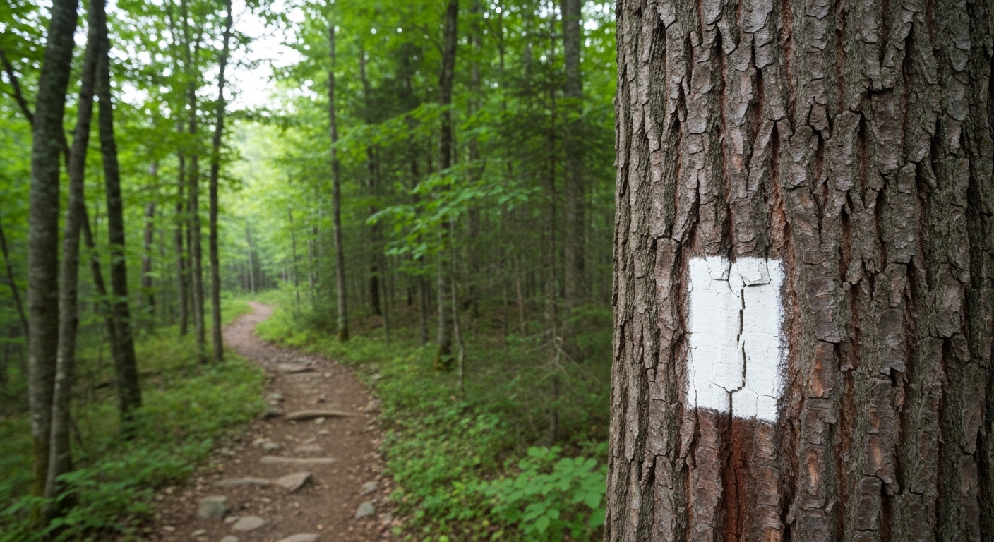
Why Hikers Treat It as the Real Milestone
Here is the part that surprises people. The photo is not an official record of anything.
The Conservancy's actual recognition for completing the trail is the 2,000-Miler registry, which hikers apply for after they finish, and which runs on the honor system. The Harpers Ferry photo carries no completion status at all. A staffer takes it in the middle of a hike, not at the end of one.
And yet hikers consistently describe it as the moment the whole thing turns real. Reaching Harpers Ferry, for a northbound hiker, is the first milestone that makes finishing feel like a plan rather than a fantasy. The trail's geographic midpoint is actually farther north, in Pennsylvania, but nobody talks about that one. Harpers Ferry is the psychological halfway point, and psychology is what carries people the rest of the way.
The number matters to hikers too. It tells you where you fall in the order of long-distance hikers who have come through that season, which is either humbling or gratifying depending on your temperament and how far behind the bubble you are. The Conservancy and its partners use those counts to track visitation trends across the corridor.
Worth clearing up, since hikers themselves mix this up constantly: the Harpers Ferry hiker number is not the same as the number issued at A.T. Basecamp at Amicalola Falls State Park in Georgia, and neither one is the ceremonial hangtag number. Three separate numbers, three separate purposes. Most hikers end up with a folder of all of them and only a loose sense of which is which.
What makes the photo stick is the writing on the border. Name, trail name, hometown, hike type, in the hiker's own handwriting, before the print goes into the book. That small act turns a photograph into a signature.
The Woman They Called Trail Mom
Jean Cashin retired in 1996, after twenty four years at that desk. Her full name was M. Jean Van Gilder Cashin, and some sources render it as Jean Cash, but the Conservancy's own materials and her obituary both use Cashin.
Laurie Potteiger took over as Information Services Manager that year. Potteiger had thru-hiked in 1987 and joined the ATC in 1988 taking phone orders, so she knew what she was stepping into. She said Cashin's shoes were impossible to fill, which is the kind of thing people say politely, except that in this case the woman had personally greeted a generation of hikers by name.
Potteiger's own run turned out to be a long one. She went part-time in 2019 and retired in 2021 after thirty three years with the organization, having spent much of that time promoting flip-flop thru-hiking as a way to spread out crowding on the trail, and advocating for Leave No Trace practices. Anyone who has hiked a popular Nantahala section during peak April traffic understands why both of those causes mattered.
Cashin died in 2013 at age eighty three, at her home, Blue Rock Farm, in Waynesboro, Pennsylvania. Six years later, in 2019, she was inducted into the Appalachian Trail Hall of Fame alongside Paul Fink, Don King, and Bob Proudman.
That induction class is telling. Fink was a trail pioneer, Proudman shaped trail management practice, and Cashin took pictures of tired people on a porch and wrote their names down. The selection committee understood something real about how a trail community actually holds together. Infrastructure gets you a footpath. Somebody remembering your trail name is what gets you a culture.
From Shoebox Archive to Searchable Database
For thirty years, the collection was exactly what it sounds like. Physical prints in physical albums in one building in one town. If you wanted to see your photo from 1984, you drove to West Virginia.
That changed in 2009. Between January and April of that year, volunteers with the Appalachian Trail Museum Society scanned 12,779 images representing more than 18,000 hikers, working under Terry Harley-Wilson. The Quimby Family Foundation funded the project. In 2010, the Appalachian Trail Museum opened at Pine Grove Furnace State Park in Gardners, Pennsylvania, and began providing digital access to the archive.
Today the collection lives online at ATHikerPictures.org, covering 1979 through 2024, with roughly thirty thousand hiker photos. You can search it by first name, last name, trail name, a single date, or a date range, and pull results as hiker data or as photo thumbnails.
The names in there are worth the time. Earl Shaffer, who completed the first documented thru-hike in 1948. Emma Gatewood, better known as Grandma Gatewood, who walked it in Keds. And 2-Mile Marcy, the first African American woman to complete the entire trail in sections.
The searchable trail name field is the useful part for most people. If your uncle hiked in 1991 and the family only ever knew him as Bootleg, that is enough to find him. Trail names are frequently more findable than legal names, which says a lot about how identity works out there.
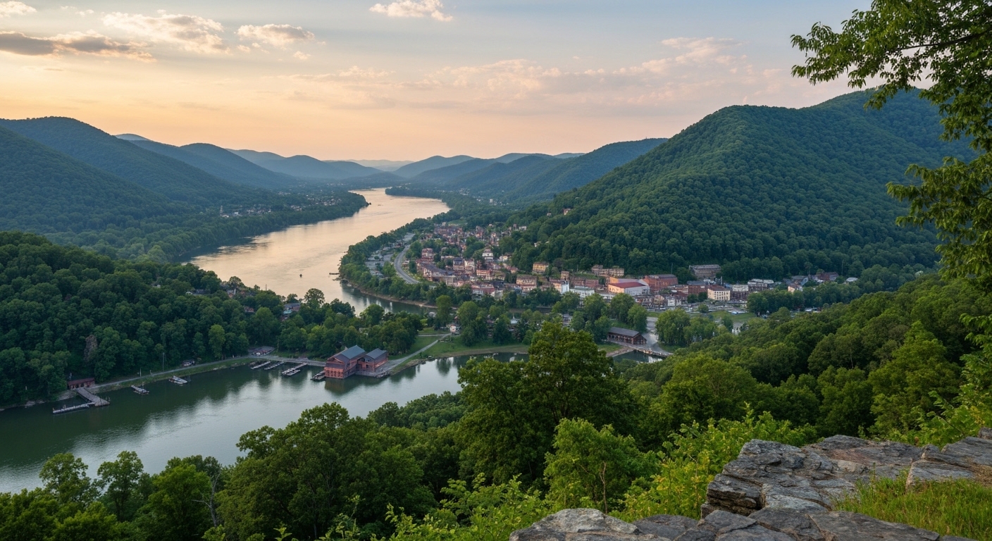
What Harpers Ferry Is Beyond the Porch
The visitor center sits near the highest point of historic Harpers Ferry, next to the town of Bolivar. Inside, there are exhibits on the trail's history, a three-dimensional map of the entire route, staff and volunteers who have usually hiked more of it than you have, and the albums.
The town around it is dense with history. Harpers Ferry National Historical Park encircles the town, and about 1.2 miles of the Appalachian Trail passes through it. This is where John Brown's raid happened. Armies fought over this ground repeatedly during the Civil War because of where the Shenandoah meets the Potomac. It is also the site of Storer College, which opened in 1867 and was the only college in West Virginia open to Black students until 1891.
It works as a gathering place too. Each year the annual Flip-Flop Kickoff sends hikers out from Harpers Ferry in both directions, north or south, planning to return and complete the remainder later. That approach spreads hikers across the calendar and takes pressure off the crowded early-season northbound corridor, which includes a lot of trail in our part of the world.
For a hiker arriving from the south, though, the history is background noise on day one. They came for the porch, the number, and a shower.
The Class of 2026
The tradition has continued straight through to this year. Recent hikers photographed at the building include Slowjourner, Grey Beard, Trombonius Monk, and a mother and daughter named Chrissy and Ady.
Ady is a seventeen year old nonspeaking autistic teen section hiking the Appalachian Trail with her mother to show the world she is capable of incredible things. That is her stated reason for being out there, and it is a better summary of the trail's appeal than most people manage after thirty years of hiking it.
Names like Trombonius Monk are the reason the albums are worth flipping through rather than just querying. A database returns records. An album returns a class, in the yearbook sense, complete with terrible handwriting in the margins and the occasional person who clearly wanted to be somewhere else when the shutter clicked.
That is the actual function of the collection. It is not a monument to individual achievement. It is a record of a rolling community that reassembles every spring, walks north or south for months, disperses, and leaves behind a page.

The Western North Carolina Stretch
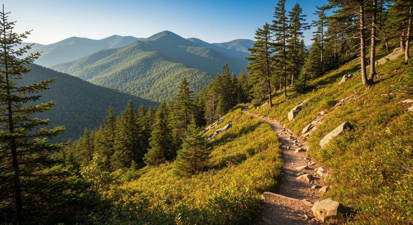
Roughly three hundred miles of the Appalachian Trail belong to North Carolina outright or run along the ridgeline it shares with Tennessee, and it is some of the most demanding walking on the whole route.
Northbound hikers cross into North Carolina at Bly Gap, where a famously gnarled oak leans out over the ridge, and the terrain gets serious almost immediately. Standing Indian. Albert Mountain, where the climb to the fire tower is steep enough to be a running joke and which sits near the hundred-mile mark. Wayah Bald. Then the long descent to the Nantahala Gorge at Wesser, the climb out toward Cheoah Bald, Fontana Dam, and eventually seventy odd miles through Great Smoky Mountains National Park.
Franklin is where a lot of that early attrition sorts itself out. Hikers come off the trail at Winding Stair Gap on US 64, about ten miles from downtown, and by then they know whether they are actually doing this. Franklin is a designated Appalachian Trail Community, and the town leans into it, with an annual spring trail festival timed to the northbound wave and businesses that recognize a hiker before they say a word. Hot Springs, farther up, does the same thing with the trail running directly down its main street.
Do the arithmetic and the Harpers Ferry photo lands roughly nine hundred miles after those hikers left our ridgelines. Every person in this year's album walked past Wayah Bald in the fog and dried out somewhere in Macon County.
That is worth remembering when you pass a hiker at Ingles in Franklin in April with a pack leaned against the cart. They are on their way to a porch in West Virginia, and the mountains you drive through on your commute are the section they will still be describing to people twenty years from now. A fair number of them come back for good, and when that itch turns into questions about where to actually put down roots up here, my door is open and the coffee is on.
Frequently Asked Questions
Does the Appalachian Trail Conservancy still take hiker photos in Harpers Ferry?
Yes. Staff at the ATC Visitor Center at 799 Washington Street in Harpers Ferry, West Virginia still photograph long-distance hikers outside the front door, and the tradition has continued through 2026. Hikers receive a hiker number that reflects where they fall in the season's order of long-distance hikers passing through, then write their name, trail name, hometown, and hike type on the border of the print before it goes into a physical album kept at the center. Visitors can flip through the albums. The center's listed hours are Tuesday and Wednesday from 10 a.m. to 4 p.m., and Thursday through Monday from 9 a.m. to 5 p.m. The phone number is 304-535-6331.
How do I find an old Appalachian Trail hiker photo online?
The searchable archive lives at ATHikerPictures.org and covers 1979 through 2024, with roughly 30,000 hiker photos. You can search by first name, last name, trail name, a specific date, or a date range, and results come back either as hiker data or as photo thumbnails. The archive exists because of a digitization push between January and April of 2009, when volunteers with the Appalachian Trail Museum Society scanned 12,779 images representing more than 18,000 hikers under the direction of Terry Harley-Wilson, funded by a grant from the Quimby Family Foundation. If you only remember a trail name, start there. Trail names are often more searchable than legal names.
Is Harpers Ferry actually the halfway point of the Appalachian Trail?
No. The geographic midpoint of the Appalachian Trail sits farther north, in Pennsylvania, and it shifts slightly as the trail is rerouted over the years. Harpers Ferry is known instead as the psychological halfway point, and for most northbound hikers it is the first milestone that makes finishing feel possible rather than theoretical. The town's role has more to do with community than mileage. It is where Conservancy headquarters sits, where the photo album lives, and where many flip-flop thru-hikers launch their hikes each spring after the annual Flip-Flop Kickoff, heading north or south before returning to finish the rest.
Where does the Appalachian Trail cross near Franklin, North Carolina?
The most used crossing is Winding Stair Gap on US 64, about ten miles west of downtown Franklin, which is why so many northbound hikers turn up in town in late March and April looking for a shower, a resupply, and a hot meal. Franklin is a designated Appalachian Trail Community and hosts an annual spring trail festival built around that wave of hikers. Nearby highlights on the trail itself include Standing Indian Mountain, the Albert Mountain fire tower near the hundred-mile mark for northbound hikers, and Wayah Bald, all within a short drive of town.
What is an Appalachian Trail 2,000-Miler and how is it different from the Harpers Ferry photo?
The 2,000-Miler registry is the Appalachian Trail Conservancy's official recognition for anyone who has hiked the entire trail, whether as a thru-hike or in sections over many years. Hikers apply for it after finishing, and it operates on the honor system. The Harpers Ferry photo is not the official record and carries no completion status. It is a milestone marker taken mid-hike, which is exactly why hikers treasure it. Note also that the Harpers Ferry hiker number is separate from the number issued at A.T. Basecamp at Amicalola Falls State Park in Georgia, and separate again from the ceremonial hangtag number. Hikers frequently mix up all three.
About the Author
Jon Tharp is a licensed NC real estate broker with Keller Williams. He's helped buyers and sellers across Western North Carolina for over 10 years, specializing in mountain homes, land, and short-term rental investments, with offices throughout WNC covering all mountainous areas. If something in this post has you thinking about a move, he's easy to reach — (828) 347-9055 or smokymountainhomes4sale.com or Jon@jontharphomes.com.
Ready to Make Western NC Your Home Base?
Whether you're looking to buy, considering a short-term rental investment, or ready to sell, the Jon Tharp Team brings deep local knowledge and marketing that puts your home in front of 50,000+ buyers in the first 30 days.
Search available homes across Western NC or call Jon directly at (828) 347-9055.
Talk to JonWhat Our Clients Say
43 five-star Google reviews — read them all on Google
"Jon is hands down the most dedicated and knowledgeable realtor that I have ever worked with. His expertise made the entire process of selling my home and finding a new one a smooth process."
Amy Davis · 2025
"Jon & his team are the greatest! Very professional, friendly like your neighbor, and always get back to your texts, phone calls & emails within minutes or same day, not days or weeks."
Cynthia Oelschlager · 2025
"I can’t say enough good things about Jon and his team. I was looking for investment properties and Jon spent time researching where would be a good place for an Airbnb — he found 2 beautiful properties."
Diane Cogswell · 2025
More from the Blog