By Jon Tharp, Broker · May 20, 2026
At a Glance
Western North Carolina is home to some of the best natural swimming holes in the South, fed by cold mountain streams that stay refreshing even in the heat of August. This guide covers both the famous spots that draw crowds and the quieter pools that locals keep to themselves, with specific driving and hiking directions to each one so you can find them without guessing.
The Complete Guide to Swimming Holes in Western North Carolina: Well-Known Favorites and Hidden Gems
The water in WNC is cold. Even in the middle of July, even after a week of ninety-degree days, the mountain streams running out of Macon, Jackson, Haywood, and Swain counties will take your breath away the moment you step in. That is the point. These are not lazy float rivers. They are fast, clear, cold, and fed by elevation.
Western North Carolina has an embarrassment of swimming holes. Some are famous, pulling hundreds of visitors on a summer weekend. Others are known mostly to locals who grew up on them and do not advertise the address. This guide covers both categories, with specific driving and hiking directions for each one. No vague "just look for the pull-off" instructions. You should be able to read this post and go.
A note before you start: Hurricane Helene hit the region hard in September 2024. Several trails were damaged or temporarily closed. Most are back open, but a few swimming holes look different than they did before the storm. Current conditions are noted where relevant.
Midnight Hole: The Crown Jewel of Big Creek
There is no swimming hole in Western North Carolina with a better name, and the place lives up to it. Midnight Hole sits on Big Creek Trail inside the Great Smoky Mountains National Park near the Haywood and Swain county border, about an hour from Waynesville. The creek squeezes between two massive boulders, drops six feet, and pools into a deep, clear green basin that looks almost black in certain light. That is where the name comes from.
The hike in is 1.4 miles each way on an old railroad grade, which means gradual and well-maintained. Expect company on summer weekends. It is not uncommon to arrive and find fifty or more people at the hole between 10 a.m. and 4 p.m. Go on a weekday or arrive before nine in the morning.
Driving directions: From Waynesville, take I-40 West toward Tennessee and exit at Exit 451 (Waterville Road). Turn left at the bottom of the ramp, cross the Pigeon River, and turn left again at the stop sign. Stay on Waterville Road until it becomes Big Creek Road as you enter the national park. Follow Big Creek Road to its end at the parking lot. A GSMNP parking tag is required.
On the trail: The trailhead is just before the parking lot on the right. Walk 1.4 miles along the creek. Look for a white circle painted on a tree on the right side of the trail. Midnight Hole will be on your left, down a narrow rocky path. After you cross the wooden bridge, you are close.
Post-Helene update: The trail is open. The swimming area was affected by flooding, the beach is smaller, and a large tree fell across the main jumping rock. The deep pool below the falls is intact. If you hike half a mile past Midnight Hole, Mouse Creek Falls is worth the extra steps.
Dogs are not allowed on this trail.
Bust Your Butt Falls: A Natural Waterslide on the Cullasaja
The name is honest. Bust Your Butt Falls on the Cullasaja River near Highlands is one of the most purely fun swimming spots in Macon County. It is also called Quarry Falls. The smooth rock formations channel water into a fast, sloping chute that drops you into a deep, cold pool. There is also a jump rock for those who prefer the direct route into the water.
This spot sits right along US 64, which means access is easy and it draws a crowd. The appeal is obvious: you can drive up, park, walk a hundred feet, and be sliding into a mountain river. Families with older kids show up in numbers on weekends.
The key safety note: do not slide when the water is running high. After heavy rain, the current is too strong and the rocks too slippery. Check conditions before you go and watch the water for a few minutes before anyone gets in. The boulders are large and unforgiving.
Driving directions: From Franklin, take US 64 East toward Highlands. Bust Your Butt Falls is approximately 6.5 miles from Highlands on the left, just before the highway curves near the Cullasaja River Gorge. Park in the roadside pull-offs. There is no formal parking lot, so be careful pulling off the highway. The falls are visible and audible from the road.
No hiking required. This is a roadside access spot.
Sliding Rock: Pisgah National Forest's Famous Waterslide
If you have lived in WNC any length of time, you already know about Sliding Rock. If you are visiting, it belongs on the list. A 60-foot water-polished rock face in Pisgah National Forest channels about 11,000 gallons of water per minute down a natural slide into a seven-foot-deep pool. Lifeguards are on duty during summer season. This is the most managed of the spots in this guide, and the most visited, but it earns its reputation.
The water temperature hovers around 50 to 60 degrees Fahrenheit all summer. The slide is fast. Wear old clothes or a swimsuit you do not mind roughing up on rock.
Driving directions: From Brevard in Transylvania County, take US 276 North toward the Blue Ridge Parkway. Sliding Rock is approximately 7.8 miles from Brevard on the right, clearly signed. From Asheville, take I-26 West to US 64 West toward Brevard, then pick up US 276 North. From Waynesville, take US 276 South from the Blue Ridge Parkway, and Sliding Rock will be on your left about 8 miles down from the Parkway intersection.
Parking fees apply in season. The facility includes restrooms and a changing area. Arrive early on weekends as the lot fills fast.
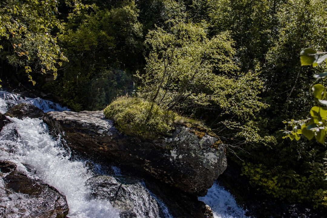
Photo by Leonid Privalov on Unsplash
Secret Falls: The Hidden Waterfall Near Highlands
Secret Falls earns its name. This is a 50-foot waterfall in the Highlands area of Macon County that drops into a deep emerald-green pool, and most visitors driving through the area have no idea it exists. The surrounding forest is quiet and dense. The pool is cold and clear.
Getting there requires a short hike, less than a mile, through wooded terrain. The payoff is a swimming hole that feels genuinely private even though it is not far from town.
Driving directions and trailhead: From Highlands, take Horse Cove Road (NC 1603) east out of town. Look for pull-off parking near the trail access point off Horse Cove Road, roughly two miles from downtown Highlands. The trail is not heavily signed, so go slowly and watch for the marked path descending toward the creek. Once you hear the falls, follow the sound. The hike is under 0.5 miles each way and the terrain is moderate.
This spot rewards a weekday visit. Weekend crowds from Highlands can spill out to the more accessible swimming spots, leaving Secret Falls relatively quiet.
Queens Lake: A Mountain Reservoir Nobody Talks About
This one is genuinely off the radar for most visitors. Queens Lake sits on Briartown Mountain along Wayah Road deep in the Nantahala National Forest, at the top of Winding Stairs Road. It is a small Duke Power reservoir, and gas-powered boats are not permitted. What you get is quiet water, mountain views, and the kind of calm that is increasingly hard to find near more trafficked swimming spots.
You can swim, fish, paddle, or simply sit on the shore. There is no lifeguard, no entrance fee, and no bathrooms. Come prepared and leave the place as you found it.
Driving directions: From Franklin, take Wayah Road (SR 1310) west from US 64. Follow Wayah Road approximately 10 miles into the Nantahala National Forest. Queens Lake will be on or near the junction with Winding Stairs Road. The gravel road runs along the lake. Satellite navigation to "Queens Lake, Nantahala National Forest" will get you close. The road can be rough, so a high-clearance vehicle is helpful though not required in dry conditions.
Tessentee Bottomland Preserve: Franklin's Quiet Creek Gem
This one is right in Franklin's backyard and still off most people's maps. The Tessentee Bottomland Preserve sits along Tessentee Creek and the Little Tennessee River in Macon County, offering gentle, clear swimming spots that are particularly good for families with younger children. The current is mild, the banks are accessible, and the forest around the preserve makes the whole thing feel like a private retreat.
The preserve is managed for conservation, which means it stays clean and quiet. You are not going to find a packed beach here. What you will find is a stretch of cool creek water tucked into bottomland forest, surrounded by diverse wildlife, where you can spend a few hours without seeing more than a handful of other people.
Driving directions: From Franklin, take US 441 South toward Otto. Turn right on Tessentee Road (SR 1448) and follow it southeast. The preserve access point is along Tessentee Road. Look for trailhead signage from the Highlands-Cashiers Land Trust, which manages the property. The drive from downtown Franklin is under fifteen minutes.
The swimming here is wading and splashing more than deep-pool swimming, which makes it ideal for kids and anyone who wants cool water without a current that demands respect.
Fontana Fingerlake: Swain County's No-Wake Swimming Area
Most people who visit Bryson City know about Fontana Lake but drive past the Fingerlake without stopping. That is a mistake. The Fingerlake is the spillover section of Fontana Lake, located just off the main lake near the Nantahala River confluence. No motorized boats are permitted in this section, which means the water stays calm, clear, and safe for open water swimming.
Kayakers and paddleboarders use it for lessons. Outfitters in the area launch from here. On a summer afternoon, it is one of the more beautiful stretches of open water in Swain County, framed by the ridgelines that define this corner of the Smokies.
Driving directions: From Bryson City, take US 19 West toward Topton. Turn left on Fontana Road and follow it toward the Nantahala Outdoor Center area. The Fingerlake Day Use Area is off Fontana Road near the confluence of the Nantahala River and the lake. Look for signage for the day use area and boat launch. The drive from Bryson City is approximately 15 to 20 minutes.
Bring a picnic. There is room to spread out, and the setting is hard to beat.
Ferebee Memorial Picnic Area: Nantahala River Wading Near Andrews
This spot is more wading than swimming, but it earns a place on the list for the people who want cool mountain water without a hike and without a crowd. The Ferebee Memorial Picnic Area sits on the Nantahala River about 2.5 miles from the put-in, in Macon County near Andrews. The water is calmer here than farther down the gorge. Grills are available. The river bottom is rocky and manageable.
Percy Bell Ferebee, the area's namesake, was a U.S. Forest Service engineer who settled in Andrews in 1913 and donated six thousand acres to ensure public river access before commercial rafting arrived. The spot exists because of that donation.
Driving directions: From Andrews or Topton, take US 19 West into the Nantahala Gorge. The Ferebee Memorial Picnic Area is on the right side of US 19, approximately 2.5 miles before the Nantahala Outdoor Center. Watch for the brown Forest Service sign. Parking is in the gravel lot along the highway.
This is an easy in-and-out stop if you are driving through the gorge on the way to or from a rafting trip.
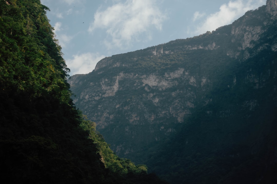
Photo by Isaac Constantino on Unsplash
What You Need to Know Before You Go
Mountain water in WNC is cold year-round. Even at the height of summer, most streams run between 50 and 65 degrees. This is part of the appeal, but it also means you should enter slowly, especially with children, and watch for signs of cold shock.
Water levels change fast. After rain, creeks that are calm can become powerful within hours. Check conditions before driving out to any of these spots. The US Forest Service and National Park Service both post current information on their websites and social media. If a creek looks angry when you arrive, trust your instincts.
None of these spots have lifeguards except Sliding Rock. Everyone swims at their own risk. The jumping rocks at Midnight Hole and Bust Your Butt Falls have been used for years, but water levels change what is safe beneath the surface. Always check depth before jumping from any rock.
Leave no trace applies everywhere on this list. Most of these swimming holes are on National Forest or National Park land. Pack out everything you pack in. The reason these spots stay beautiful is because enough people treat them that way.
The swimming holes of Western North Carolina are one of the reasons people who move here rarely leave. Cool water on a hot afternoon, surrounded by the kind of forest that took centuries to grow, with a mountain ridge visible wherever you look. If that sounds like the kind of place you want to be more often, Jon Tharp knows this area well and is happy to help you find your way here permanently.
*Swimming holes listed span Macon, Haywood, Swain, and Transylvania counties. Always verify trail and access conditions before visiting, especially following severe weather events.*
Ready to Make Western NC Your Home Base?
Whether you're looking to buy, considering a short-term rental investment, or ready to sell, the Jon Tharp Team brings deep local knowledge and marketing that puts your home in front of 50,000+ buyers in the first 30 days.
Search available homes across Western NC or call Jon directly at (828) 347-9055.
Talk to JonWhat Our Clients Say
43 five-star Google reviews — read them all on Google
"Jon is hands down the most dedicated and knowledgeable realtor that I have ever worked with. His expertise made the entire process of selling my home and finding a new one a smooth process."
Amy Davis · 2025
"Jon & his team are the greatest! Very professional, friendly like your neighbor, and always get back to your texts, phone calls & emails within minutes or same day, not days or weeks."
Cynthia Oelschlager · 2025
"I can’t say enough good things about Jon and his team. I was looking for investment properties and Jon spent time researching where would be a good place for an Airbnb — he found 2 beautiful properties."
Diane Cogswell · 2025