By Jon Tharp, Broker · August 19, 2026
At a Glance
Pisgah View State Park, North Carolina's first state park in Buncombe County, covers roughly 1,570 acres the Cogburn family sold below market value after owning the land since 1790. Neighbors Stagg and Cheryl Newman donated ten more acres and willed another 23. Land costs ran about $18.1 million. Helene damage in 2024 delayed the soft opening, and the state has not confirmed a public opening date.
Six waterfalls sit on the property. So does a red barn where guests danced on summer evenings for the better part of eighty years, and a stretch of ground that climbs from a creek bottom at 2,500 feet to more than 4,800 feet at the Buncombe and Haywood county line.
All of it is going to be a public park. A good part of the reason is that the family who owned it chose not to charge the state full price.
Pisgah View State Park sits in Candler, about 18 miles southwest of downtown Asheville, on land the same family line has held since 1790. It is the first state park in Buncombe County, and its high ground touches Haywood. For those of us living west of Asheville, it is the largest new piece of public land coming our way in a long time.
Two Hundred Years, One Family
The story starts with a land grant. In 1790, Uriah Davis acquired the property in the South Hominy valley, and it passed down through the family and into the Cogburn name by marriage. That is more than two centuries of one family holding one mountain cove, which is rare anywhere and getting rarer here.
In the 1930s, the cabins on the place housed workers building the Blue Ridge Parkway. It went by Pisgah View House then. In 1941, Ruby and Chester Cogburn opened the property to paying guests as Pisgah View Ranch.
What followed was the kind of operation that does not really exist anymore. Horseback riding through the coves. A spring-fed swimming pool. Tennis courts and shuffleboard. Trout and bass fishing. A pioneer museum, a nature room stocked with native animals, and naturalists on staff to walk people through the woods. Meals served family style at long tables, where you sat with whoever else was there that week.
Families came back year after year, then sent their kids, then their grandkids. If you have lived in Western North Carolina any length of time, you have met someone whose summer memories are tied up in that place.
By 2019, nearly eighty years in, the Cogburns who owned it were ready to step back from running a guest ranch. What they did next is the part worth paying attention to.
The history before 1790 deserves naming too. The Cherokee called this area Elseetoss, and Catawba and Muscogee people had ties to this land as well. Cherokee communities were forced out of the region in the 1830s along the Trail of Tears, which is the history that made a land grant to a settler family possible in the first place.
The Sale That Was Also a Gift
The family could have listed 1,600 acres at the base of Mount Pisgah on the open market. Land like that, twenty minutes from Asheville, with creek frontage and long views, would have moved fast, and somebody would have carved it into lots. Anyone who has watched what happened to comparable acreage in Henderson or Transylvania County knows how that script goes.
Instead the Cogburns approached the state about making it a park, and agreed to sell below market value. The difference between what the land was worth and what the state paid was, in effect, a donation from the family to the public.
The North Carolina General Assembly authorized Pisgah View State Park on July 19, 2019. The state took an option to buy the property over a five year window, purchasing it in pieces as money became available through the Parks and Recreation Trust Fund. The first tract, 205 acres, closed in 2020. By November 2021 the state held about 509 acres across three Cogburn tracts.
The Southern Appalachian Highlands Conservancy carried a lot of the weight here, securing $1 million in matching contributions toward the purchase and staying at the table through years of site visits and negotiations. A state budget allocation in November 2021 sped everything up.
The last 170 acres closed in November 2023, finishing the assembly at roughly 1,570 acres. Land acquisition ran about $18.1 million all in, which is a real number and also low for what the state got.
That structure, a below-market sale to a public agency, is how a lot of the conservation in these mountains actually happens. It requires a landowner willing to leave money on the table on purpose.
The Ten Acres Nobody Had to Give
There is a smaller piece of this story that says as much as the big one.
In 2021, Stagg and Cheryl Newman donated 10 acres of their own property for inclusion in the future park, with the Southern Appalachian Highlands Conservancy handling the transfer to the state. They were not selling out and nobody pressured them. They owned land next to what was becoming a park and decided the park should have some of it.
Then they went further. The Newmans wrote another 23 acres into their wills as a bequest, so more of their property will join the park after they are gone.
Ten acres does not sound like much against 1,570. But park boundaries are made of exactly these decisions, and a donated tract in the right spot can protect a stream, complete a trail corridor, or keep a ridgeline from being built on. Neighbors giving land to a park they may never see finished is the sort of thing that happens in mountain communities and rarely makes headlines.
What 1,570 Acres Actually Holds
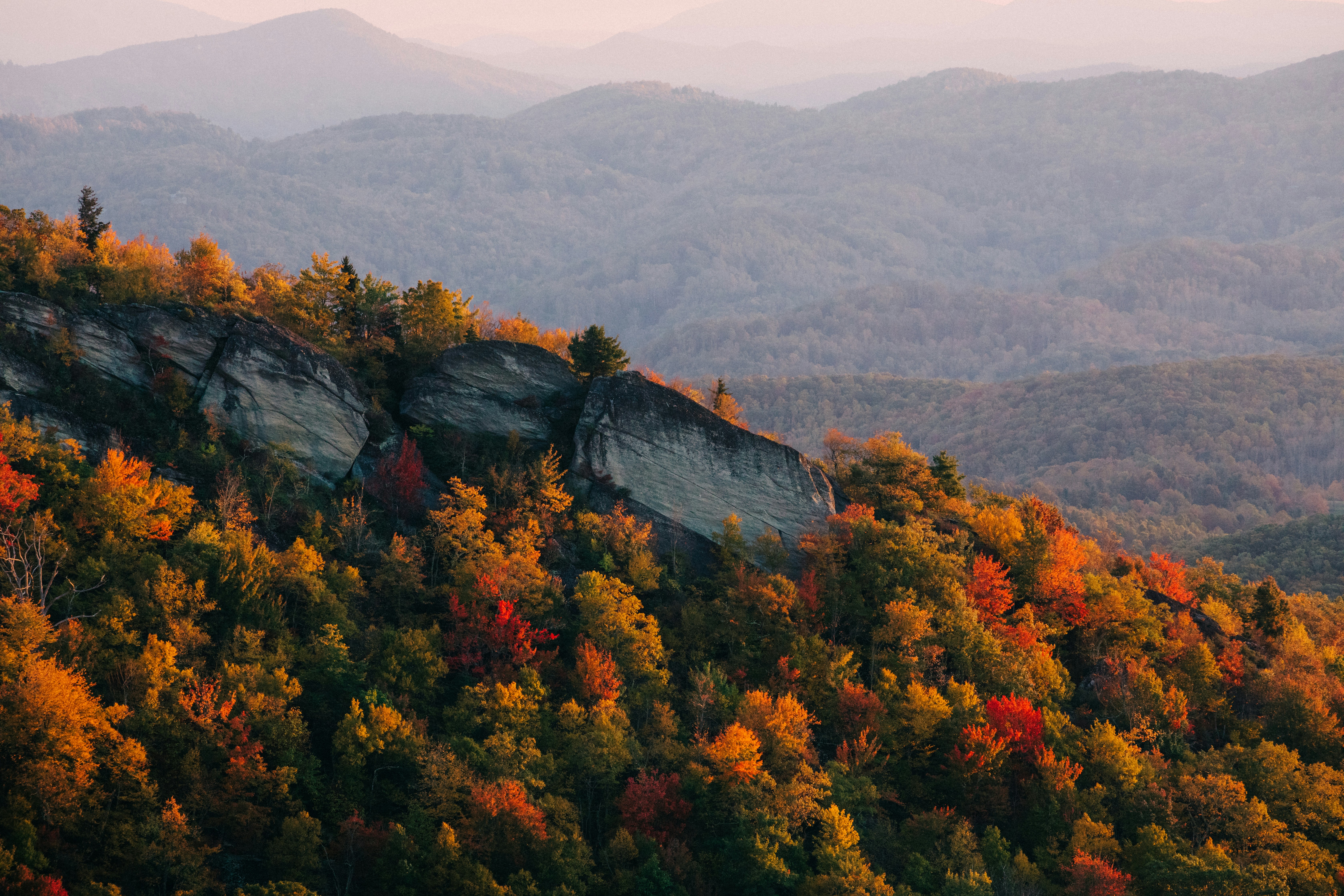
The property sits in the Southern Appalachian escarpment, which ecologists treat as one of the more significant landscapes in the eastern United States. The elevation swing does most of the work. You go from roughly 2,500 feet along South Hominy Creek to over 4,800 feet at the county line, and that range stacks several distinct forest and plant communities on top of each other in a short walk.
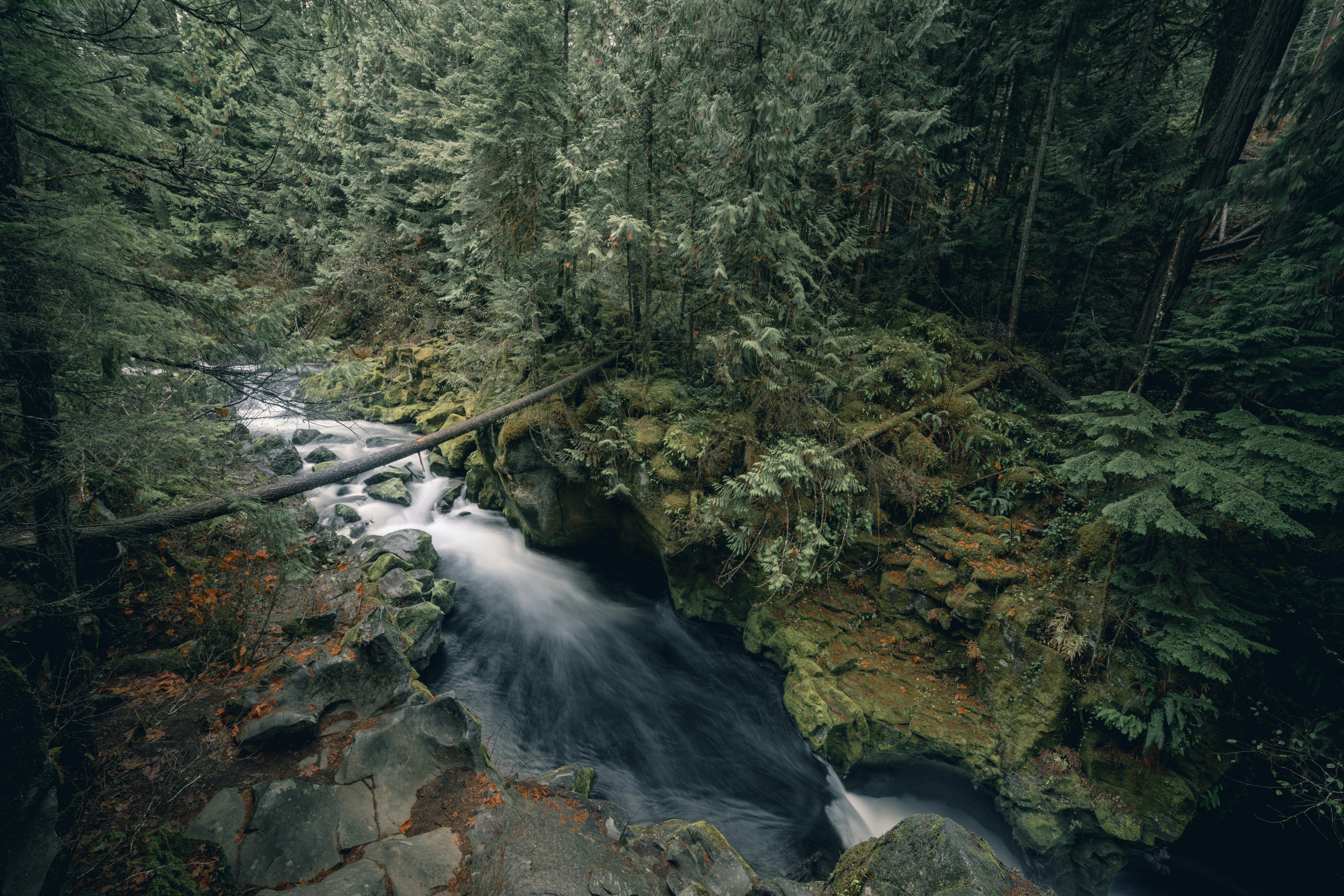
There are at least six cascading waterfalls on the land. Spring wildflower displays draw the kind of enthusiasm from people who have walked the property that you learn to trust. From the upper reaches, the views run toward Mount Mitchell in one direction and Cold Mountain in the other, with Mount Pisgah standing over the whole property.
The park also shares boundaries with Pisgah National Forest, which matters more than a map line suggests. Connected public land holds wildlife that fragmented parcels cannot, and it gives future trail planners somewhere to tie into.
Then there is the built inventory. Roughly 40 structures from the ranch era still stand on the front part of the property: cabins, the ranch house, outbuildings, the barn. Some are salvageable, some are not, and sorting that out is one of the larger line items ahead.
Helene Rewrote the Calendar
The plan was a soft opening in 2025. Public input meetings ran in December 2023 and February 2024, residents turned out with plenty to say, and the master plan came together on schedule.
Then Helene came through in September 2024.
The property took landslides and road damage along with the rest of Western North Carolina. Anyone who lived through that fall understands why a park opening slid down the priority list while communities from Swannanoa to Canton were digging out. State parks staff spent the following year assessing slides, clearing access, and reworking sequences that had assumed intact roads.
State officials have talked about 2026 as a possible soft opening, with the caveat that it depends on funding and construction capacity. As of this summer, the state has not announced a firm public date.
That is disappointing if you have been waiting, and it is also the reality of building anything in these mountains right now. Contractors, crews, and money are all still committed to storm recovery.
What Opening Day Will Actually Look Like
Set your expectations correctly and you will enjoy this more.
Phase one is deliberately small. A loop trail, a picnic pavilion, an information kiosk, pit toilets, and accessible parking. That is the soft opening. It gets people onto the land safely while crews build the rest.
Phase two takes on the front country, meaning the old ranch core and those 40 structures that need repair, demolition, or updates to meet accessibility standards. Phase three is the backcountry, and that is where the master plan gets interesting: an extensive hiking trail network, dedicated equestrian trails and facilities, backcountry camping, and routes to the waterfalls.
Longer term, the plan covers developed camping and an event barn across a 20 year horizon. The equestrian piece is the unusual part. Very few North Carolina state parks offer serious horse trails, and given that this land spent eighty years as a riding ranch, it would be a shame to lose that thread.
Superintendent Tyson Phillips leads the park, with rangers and maintenance staff already on the ground and a Friends of Pisgah View State Park group organized to support the work. That volunteer group is the easiest way for anyone who wants to help to plug in now rather than later.
Why This One Matters West of Asheville
Buncombe County getting its first state park is the headline, but the reach is wider than that. From Waynesville it is roughly 40 minutes. From Canton, less. Sylva sits about an hour out, Brevard about the same, and Franklin around ninety minutes, which puts it comfortably in day trip range for most of the region.
More to the point, it is 1,570 acres of mountain land twenty minutes from Asheville that nobody will ever subdivide. In a region where buildable acreage near a growing city tends to have exactly one future, a family and a set of neighbors chose a different one and took a financial haircut to make it stick.
That decision will outlive everyone involved in it. Kids who have not been born yet will learn to ride a horse on that ground, or find their first trillium, or stand at 4,800 feet and pick out Cold Mountain.
Access to land like this is a big part of why people stay in these mountains, and a big part of why others keep moving here. If you are weighing which valley or which county to plant yourself in, I am always up for a conversation about how the map is changing out here.
Sources: 828 News Now, NC State Parks, Southern Appalachian Highlands Conservancy, Appalachian Voices, Wikipedia, Smoky Mountain News
Two things worth checking before this goes live: the acreage figure varies by source (1,559, ~1,570, and "nearly 1,600" all appear), and the opening status is the piece most likely to have moved since these articles. A quick call to Superintendent Tyson Phillips would firm up both.
Frequently Asked Questions
Is Pisgah View State Park open to the public yet?
No. Pisgah View State Park is still in the development phase and has no public access. The state finished acquiring the land in late 2023 and completed a master plan, but the park needs staff hired and initial facilities built before anyone can walk in. A soft opening was originally targeted for 2025, then pushed back after Tropical Storm Helene caused landslides and road damage on the property in September 2024. State parks officials have discussed 2026 as a possibility, though that depends on funding and construction. Watch the NC State Parks site and the Friends of Pisgah View State Park group for the official announcement.
Where is Pisgah View State Park located?
The park sits in Candler, in western Buncombe County, roughly 18 miles southwest of downtown Asheville along the South Hominy Creek valley. Its upper boundary runs to the Buncombe and Haywood county line, so the back side of the property looks toward Haywood and the Pisgah National Forest high country. Mount Pisgah stands above it, which is where both the old ranch and the new park got their names. For drivers coming from the west, it is close to an hour from Sylva, about 40 minutes from Waynesville, and roughly 90 minutes from Franklin.
How big is Pisgah View State Park and who donated the land?
The park totals roughly 1,570 acres, assembled tract by tract between 2019 and November 2023. Most of it came from the Cogburn family, who had held the land since a 1790 land grant to Uriah Davis and who agreed to sell to the state below full market value, effectively donating part of the property's worth. Neighbors Stagg and Cheryl Newman donated 10 additional acres in 2021 and included another 23 acres in their wills. The Southern Appalachian Highlands Conservancy secured $1 million in matching contributions toward the purchase. Land acquisition costs totaled about $18.1 million.
What will there be to do at Pisgah View State Park?
The master plan lays out about 20 years of development in phases. The first phase is modest: a loop trail, a picnic pavilion, an information kiosk, pit toilets, and accessible parking. Later phases address the front country, where roughly 40 existing ranch structures need repair, demolition, or code updates, and then the backcountry, which is where the ambitious parts live. Plans there include an extensive hiking trail system, dedicated equestrian trails and facilities, backcountry camping, and access to the property's cascading waterfalls. An event barn and developed camping are also in the long-range plan.
Can you still stay at Pisgah View Ranch?
No. Pisgah View Ranch operated as a guest ranch from 1941 until the family wound the business down and sold to the state, and it is not taking guests. Ruby and Chester Cogburn opened the property to the public in 1941, and for nearly eight decades it offered horseback riding, a spring-fed swimming pool, tennis courts, shuffleboard, trout and bass fishing, a pioneer museum, and a nature room. Many of the original cabins and buildings still stand. The state parks master plan calls for evaluating those structures, so some ranch buildings may return to public use in a different form.
About the Author
Jon Tharp is a licensed NC real estate broker with Keller Williams. He's helped buyers and sellers across Western North Carolina for over 10 years, specializing in mountain homes, land, and short-term rental investments, with offices throughout WNC covering all mountainous areas. If something in this post has you thinking about a move, he's easy to reach — (828) 347-9055 or smokymountainhomes4sale.com or Jon@jontharphomes.com.
Ready to Make Western NC Your Home Base?
Whether you're looking to buy, considering a short-term rental investment, or ready to sell, the Jon Tharp Team brings deep local knowledge and marketing that puts your home in front of 50,000+ buyers in the first 30 days.
Search available homes across Western NC or call Jon directly at (828) 347-9055.
Talk to JonWhat Our Clients Say
43 five-star Google reviews — read them all on Google
"Jon is hands down the most dedicated and knowledgeable realtor that I have ever worked with. His expertise made the entire process of selling my home and finding a new one a smooth process."
Amy Davis · 2025
"Jon & his team are the greatest! Very professional, friendly like your neighbor, and always get back to your texts, phone calls & emails within minutes or same day, not days or weeks."
Cynthia Oelschlager · 2025
"I can’t say enough good things about Jon and his team. I was looking for investment properties and Jon spent time researching where would be a good place for an Airbnb — he found 2 beautiful properties."
Diane Cogswell · 2025
More from the Blog