By Jon Tharp, Broker · July 6, 2026
At a Glance
A magnitude 2.1 earthquake struck Jackson County near the Macon County line at 11:05 p.m. on July 4, 2026, about six miles southwest of Dillsboro. No damage was reported. The quake was extremely shallow at zero kilometers deep and is part of a cluster of small tremors across Western North Carolina in 2026. The region sits near the active Eastern Tennessee Seismic Zone, which produces frequent minor quakes.
A Quiet Boom on the Fourth of July
Most of Jackson County was winding down from the holiday when the ground moved. At about 11:05 p.m. on Saturday, July 4, the fireworks were done, the coolers were mostly empty, and the U.S. Geological Survey registered a magnitude 2.1 earthquake near Dillsboro.
The epicenter sat roughly 6.2 miles south-southwest of town, close to the line where Jackson County meets Macon County. On the USGS map it lands about 42 miles from Sevierville, Tennessee, and about 47.5 miles west-southwest of Asheville. No one reported damage. No injuries. For most people, if they felt anything at all, it was a low rumble or a single soft jolt that could have passed for a neighbor's late firework or a truck on the highway.
That is the strange thing about a quake this size. It arrives without spectacle. There is no swaying chandelier, no cracked plaster, nothing to point a camera at. FOX Carolina picked it up the next day under a headline about a late-night earthquake, reporter Lorenza Medley noting the time, the place, and the magnitude. Then the news cycle moved on, the way it does with small tremors.
But a magnitude 2.1 near Dillsboro is worth pausing on, and not because it was dangerous. It wasn't. It is worth pausing on because it is the latest entry in a year that has been unusually chatty underground, and because it sits on top of a geologic history that runs a billion years deep beneath these mountains.
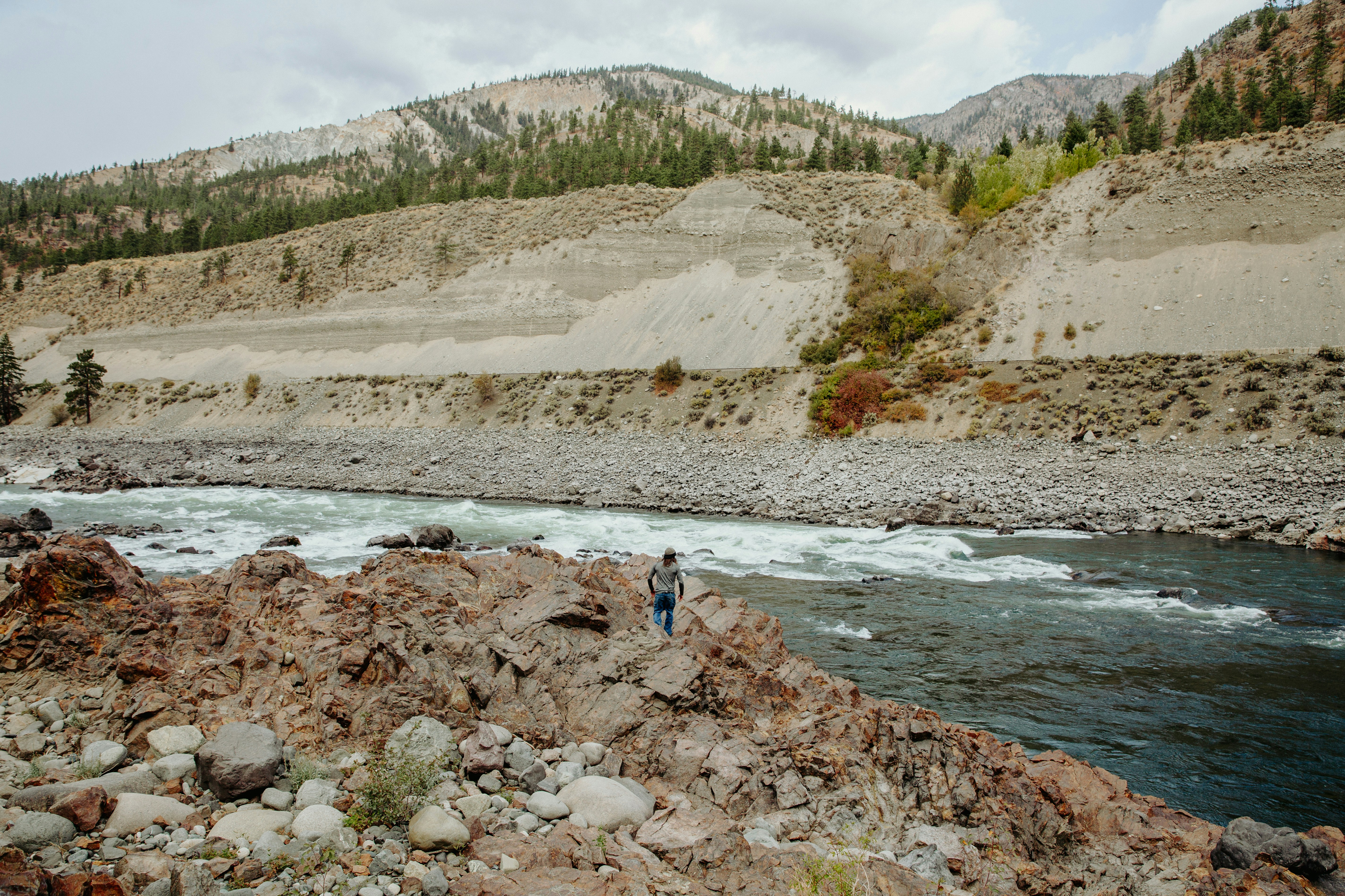
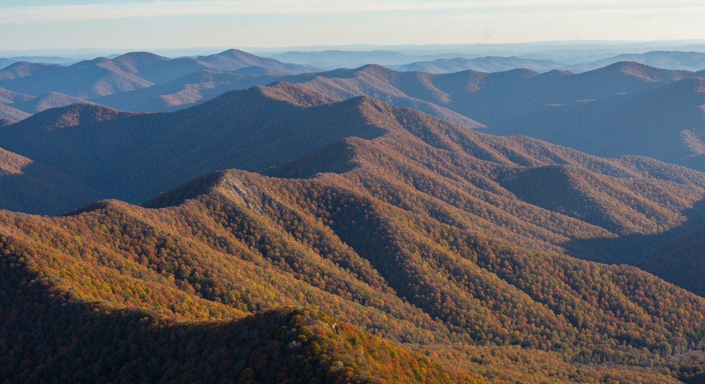
The Tuckasegee River valley, where this quake originated, is postcard Western North Carolina. Ancient metamorphic and igneous rock, rugged ridges, a river that has been carving its way through the Blue Ridge for longer than anyone can properly picture. Under all that scenery, the rock is still settling. On the Fourth of July, it settled a little.
A Busy Year Under the Mountains
Here is what makes the Dillsboro quake more interesting than its magnitude suggests. It did not happen in isolation. 2026 has been a steady drumbeat of small tremors across Western North Carolina, spread across counties that do not usually make the same sentence.
It started early. On January 3, the USGS logged a magnitude 1.7 about 4.2 miles west-southwest of Newland, up in Avery County, at 1:06 in the morning at a depth of roughly one kilometer. A month later, on February 3, another 1.7 hit near Rosman in Transylvania County, this one at 6:50 a.m. and a little deeper at about three kilometers. FOX Carolina folded that one into a broader story about earthquakes in the Carolinas.
Then came a run of reports through the early summer. The network flagged earthquakes in June, including one in the same late-night category that would later describe the Dillsboro event. By the time the Fourth of July quake showed up, the pattern was hard to miss. Small, shallow, and scattered. Newland in the northeast, Rosman in the southeast, Dillsboro in the west. Different counties, different nights, same basic signature.
None of these would have made regional news a generation ago, before dense monitoring networks caught the faint ones. That is part of the story too. We are simply better at hearing the mountains breathe than we used to be.
Still, the frequency is real. A cluster of separate minor quakes across a single region in a single year reinforces something geologists have long said about this corner of the state. The seismic character here is small but frequent. The ground is not silent. It just usually whispers.
For locals, the takeaway is less about alarm and more about awareness. If you live in Franklin or Sylva or Brevard and you felt a faint shudder some night this year and talked yourself out of it, you may not have been imagining things.
Why the Ground Moves Here at All
To understand why a quake near Dillsboro happens, you have to look west, to a feature most people here have never heard of but live right beside.
The Eastern Tennessee Seismic Zone is one of the most active earthquake regions in the eastern United States. It runs from northeastern Alabama up to southwestern Virginia, and its eastern edge clips the western flank of North Carolina. That is our neighborhood. The zone produces frequent small quakes, the vast majority of them detectable only by instruments, and a felt earthquake happens somewhere along it roughly once a year.
The mechanics are different from what you see on the news out of California. Western North Carolina sits on what geologists call a passive continental margin, far from the grinding edges of tectonic plates. There is no San Andreas here. The faults we do have are ancient and, for the most part, inactive. None of them reach the surface anywhere in North Carolina.
Two named fault zones run through the region. The Brevard fault zone stretches from Alabama to Virginia and cuts across the state, marked at the surface by a long linear topographic low that shows up if you know how to read the land. The Linville Falls fault did something remarkable in deep time, carrying billion-year-old rock up and over the younger rock of the Grandfather Mountain Formation.
These are old wounds in old rock. They are not the source of frequent big quakes. But the crust here still holds stress, and every so often it releases a little of it in a shallow pop like the one near Dillsboro.
That shallowness matters. The July 4 quake was logged at zero kilometers of depth, right up near the surface. Combined with the region's rigid, energy-efficient crust, shallow eastern quakes get felt over a wider area than their magnitude alone would predict. A small event can travel a surprising distance.
When These Mountains Actually Shook
The reassuring part of the Dillsboro quake is how minor it was. The sobering part is that these mountains have done far more than whisper before, and the historical record is clear about it.
Go back to August 31, 1861. A magnitude 5.1 struck Wilkes County near Wilkesboro, strong enough to shake bricks loose from chimneys. Half a century later, on February 21, 1916, a magnitude 5.5 hit the Skyland and Waynesville area. That one damaged chimneys and broke windows across a wide region. If you have deep roots in Haywood County, this is part of your ground's history whether your family talked about it or not.
Then July 8, 1926, brought a magnitude 5.2 to southern Mitchell County. It toppled a chimney, cracked foundations, and broke pipes. Three separate damaging quakes in the North Carolina mountains inside 65 years. These were not myths or exaggerations. People logged them, felt them, and repaired the damage.
For decades after 1926, the mountains stayed relatively quiet on the large end of the scale. Then came 2020, and a reminder that the eastern U.S. is not as seismically boring as people assume.
On the morning of August 9, 2020, at 8:07 a.m., a magnitude 5.1 earthquake struck near Sparta, in Alleghany County. It was the strongest quake North Carolina had experienced in 104 years, the second strongest in recorded state history, and the largest anywhere on the East Coast since the 2011 Virginia earthquake that cracked the Washington Monument.
Sparta stood out for a reason beyond its size. It produced the first documented surface rupture from an earthquake in the entire eastern United States. The ground did not just shake. It broke and shifted along the surface, something scientists had not previously recorded on this side of the country.
The Sparta Lesson
The numbers out of Sparta tell the real story of what a mid-sized eastern quake can do to a mountain community. The quake damaged more than 500 buildings, somewhere in the range of 525 to 533 homes and businesses. Roughly 60 of those took major damage, losing 40 percent or more of their value. The quake injured at least one person.
Chimneys toppled. The shaking ripped headstones clean out of the ground in local cemeteries. The quake damaged the Alleghany County administration office, and the town's water network took a hit. For a small county without deep reserves, the disruption was significant and the recovery was slow.
The money involved shows the scale. State assistance grants ran around $112,000. Small Business Administration loans added up to $1.17 million. And the North Carolina legislature ultimately allocated $24 million in relief. That is a serious response for a quake that lasted seconds in a place many people outside the state could not find on a map.
The point of revisiting Sparta is not to frighten anyone about Dillsboro. A 2.1 and a 5.1 are not close cousins. Because magnitude is a logarithmic scale, the energy gap between them is enormous, thousands of times over. The July 4 quake never threatened a single chimney.
The point is perspective. The USGS estimates the Eastern Tennessee Seismic Zone could theoretically produce a quake as large as magnitude 7.5, with magnitude 5 to 6 events expected roughly once every 200 to 300 years. Sparta was the region cashing one of those rare checks. The small quakes we keep logging in 2026 are the ordinary background noise of a landscape that is, geologically speaking, still alive.
Knowing that history does not make anyone's morning coffee taste different. But it does put the whisper near Dillsboro in its proper frame.
What to Do With a Whisper
So a small quake happened near Dillsboro on the Fourth of July, and it joins a handful of others from this year. What is a reasonable person in Sylva or Franklin or Highlands supposed to do with that information? Mostly, keep living.
The single best thing you can do is participate. The USGS runs a citizen-reporting system called "Did You Feel It?" and it is exactly what it sounds like. If you feel a tremor, you go online and log it. Your report joins thousands of others and helps scientists map how far the shaking traveled and how the local geology behaved. For an event like the Dillsboro quake, those human reports fill in gaps that instruments alone cannot.
The North Carolina Geological Survey, housed within the state's Department of Environmental Quality, is the standing authority on all of this. They are the people who track our faults and our history, and they are worth knowing about if the subject grabs you.
There is a small piece of local color worth mentioning too, given where the quake landed. Dillsboro carries the name of William Allen Dills, its first postmaster and namesake. Alexander Boyd Andrews, a railroad executive whose name is stamped across this part of the state, suggested the town itself. The rock beneath that town is ancient. The town on top of it is barely a blink.
That contrast is a lot of what living here is about. We build our lives on a landscape that operates on a timescale we can barely comprehend, and every so often it reminds us with a soft nudge in the night.
If you have ever stood in the Tuckasegee valley and felt how solid these mountains seem, a night like the Fourth is a gentle correction. Solid, yes, but never entirely still. And if a story like this makes you curious about what it feels like to actually wake up in these hills, I am always happy to talk about the places worth calling home out here.
Frequently Asked Questions
Did an earthquake happen in Western North Carolina on July 4, 2026?
Yes. The U.S. Geological Survey recorded a magnitude 2.1 earthquake in Jackson County at about 11:05 p.m. on Saturday, July 4, 2026. The epicenter was roughly 6.2 miles south-southwest of Dillsboro, near the Jackson and Macon County line, and about 47 miles west-southwest of Asheville. The quake was extremely shallow, logged at zero kilometers of depth. No damage or injuries were reported. At magnitude 2.1 it registers as minor, the kind of event most people either sleep through or mistake for a passing truck or a distant boom.
How common are earthquakes in the North Carolina mountains?
More common than most people assume, though almost all are too small to feel. Western North Carolina sits near the Eastern Tennessee Seismic Zone, one of the more active earthquake regions in the eastern United States. The zone produces frequent small quakes, most detectable only by instruments, and a felt earthquake happens there roughly once a year. In 2026 alone, the USGS logged minor quakes near Newland, Rosman, and now Dillsboro. Damaging quakes are rare because the region sits on an old, stable continental margin, but small tremors are a regular part of the geology here.
Could a large, damaging earthquake hit Western North Carolina?
It is possible but rare. The USGS estimates the Eastern Tennessee Seismic Zone could theoretically produce a quake as large as magnitude 7.5, with magnitude 5 to 6 events expected roughly once every 200 to 300 years. History backs this up. Waynesville felt a magnitude 5.5 quake in 1916, and Mitchell County had a 5.2 in 1926. The most recent significant event was the 2020 Sparta earthquake in Alleghany County, a magnitude 5.1 that damaged more than 500 buildings and produced the first documented surface rupture from a quake in the eastern U.S.
Why do small earthquakes in the eastern U.S. get felt over such a wide area?
It comes down to the rock. The crust beneath the eastern United States is older, colder, and more rigid than the crust out West. That kind of rock transmits seismic energy efficiently, so the shaking from an eastern quake travels farther than a western quake of the same size. A shallow event, like the July 4 Jackson County quake at zero kilometers deep, amplifies that effect. It is why a modest tremor near Dillsboro can sometimes be noticed across several counties, while a comparable quake in California might barely register beyond its immediate area.
About the Author
Jon Tharp is a licensed NC real estate broker with Keller Williams. He's helped buyers and sellers across Western North Carolina for over 10 years, specializing in mountain homes, land, and short-term rental investments, with offices throughout WNC covering all mountainous areas. If something in this post has you thinking about a move, he's easy to reach — (828) 347-9055 or smokymountainhomes4sale.com or Jon@jontharphomes.com.
Ready to Make Western NC Your Home Base?
Whether you're looking to buy, considering a short-term rental investment, or ready to sell, the Jon Tharp Team brings deep local knowledge and marketing that puts your home in front of 50,000+ buyers in the first 30 days.
Search available homes across Western NC or call Jon directly at (828) 347-9055.
Talk to JonWhat Our Clients Say
43 five-star Google reviews — read them all on Google
"Jon is hands down the most dedicated and knowledgeable realtor that I have ever worked with. His expertise made the entire process of selling my home and finding a new one a smooth process."
Amy Davis · 2025
"Jon & his team are the greatest! Very professional, friendly like your neighbor, and always get back to your texts, phone calls & emails within minutes or same day, not days or weeks."
Cynthia Oelschlager · 2025
"I can’t say enough good things about Jon and his team. I was looking for investment properties and Jon spent time researching where would be a good place for an Airbnb — he found 2 beautiful properties."
Diane Cogswell · 2025
More from the Blog